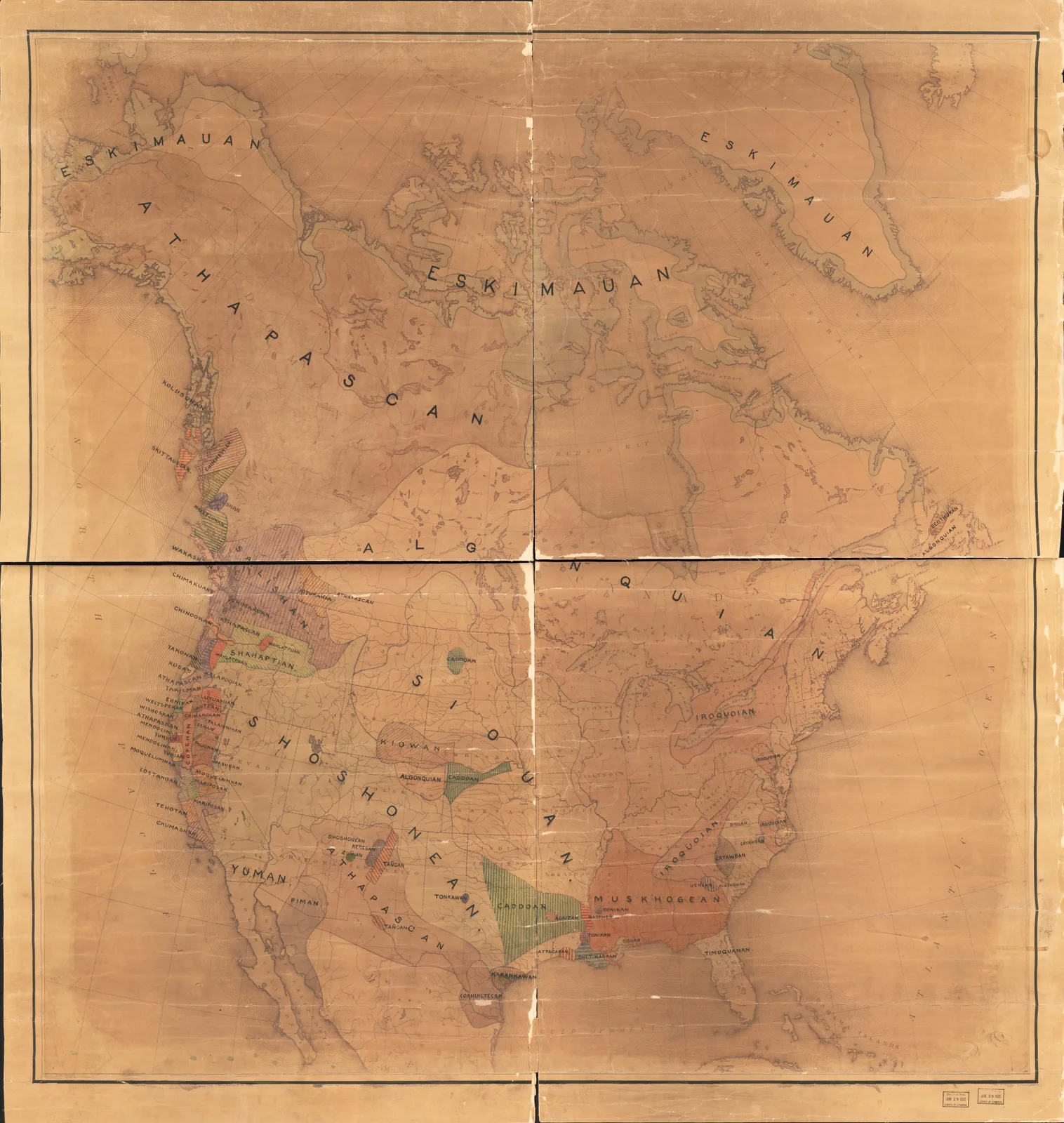
 Map of North America Showing Indian Tribes1890
 HowWorksYour agent
Vintage Maps
Hand-drawn maps of the world, cities and coastlines from five centuries of cartography, for prints, backdrops and storytelling. 60 in this collection.
Map of North America Showing Indian Tribes1890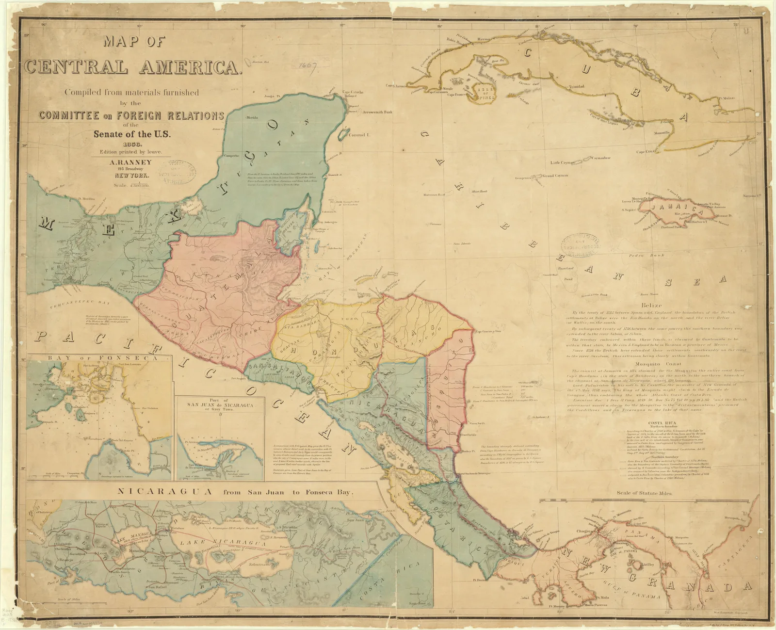 Map of Central AmericaUnited States Senate Committee on Foreign Relations · 1856
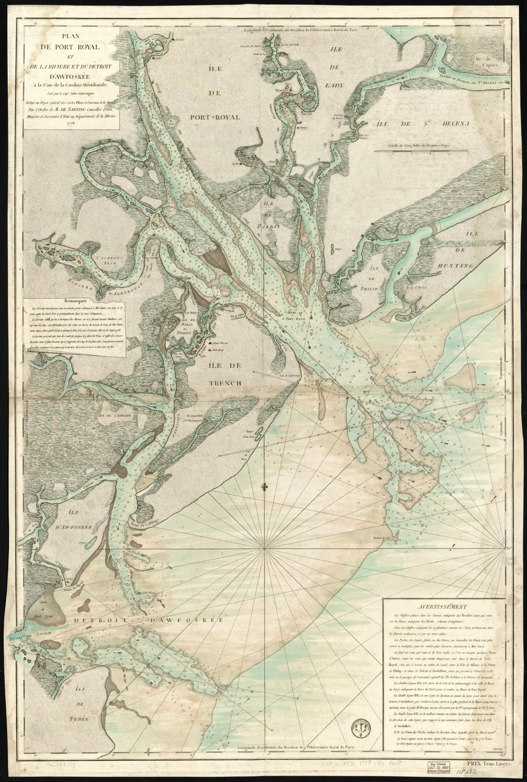 Plan of Port Royal and the Broad River, South CarolinaAntoine de Sartine · 1778
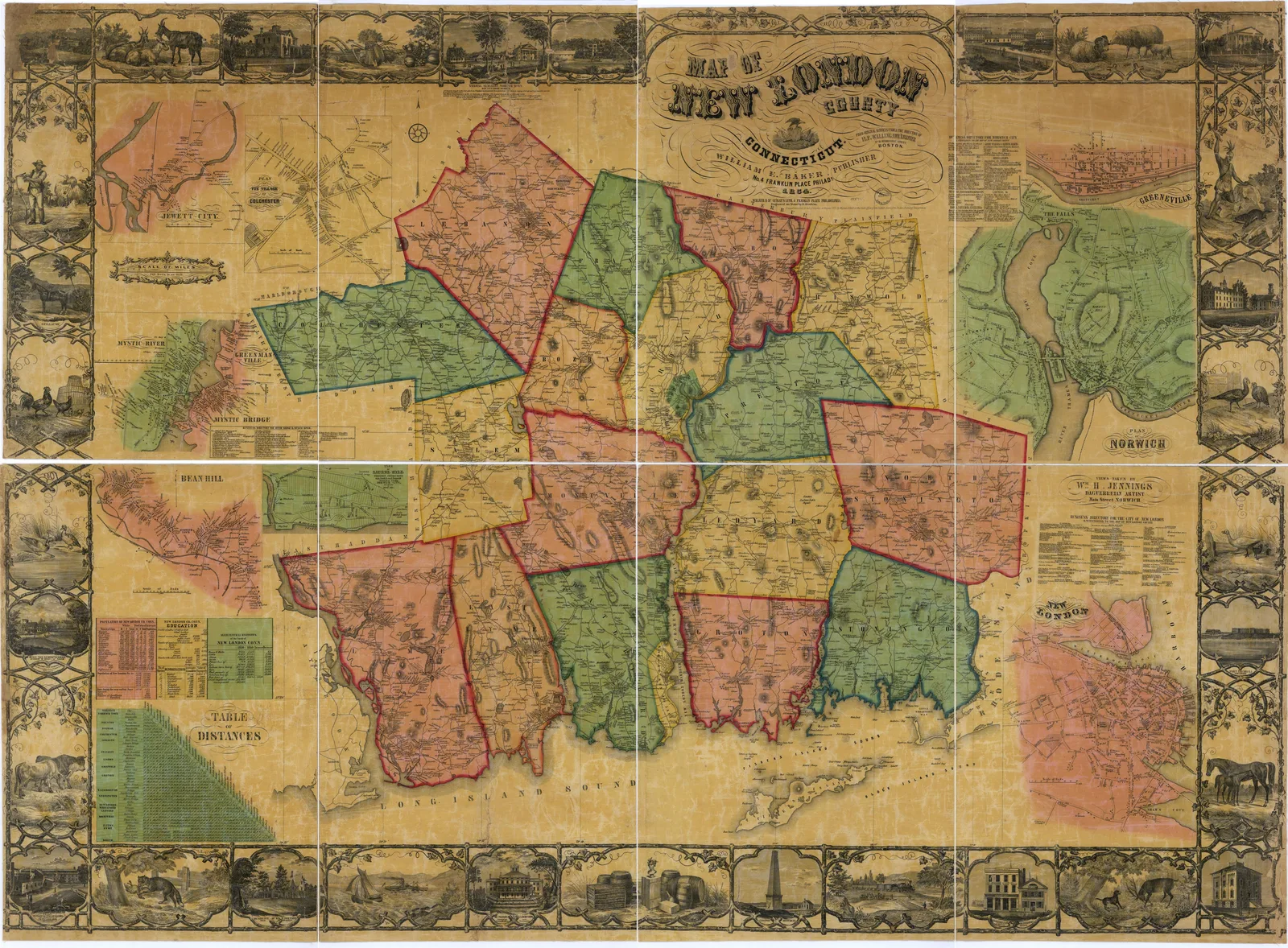 Map of New London County, ConnecticutWilliam E. Baker · 1854
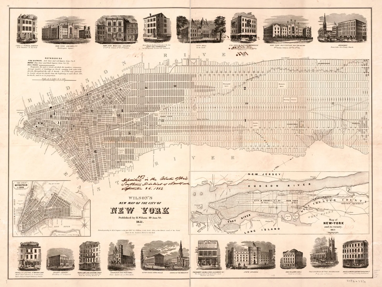 Wilson's New Map of the City of New YorkH. Wilson · 1851
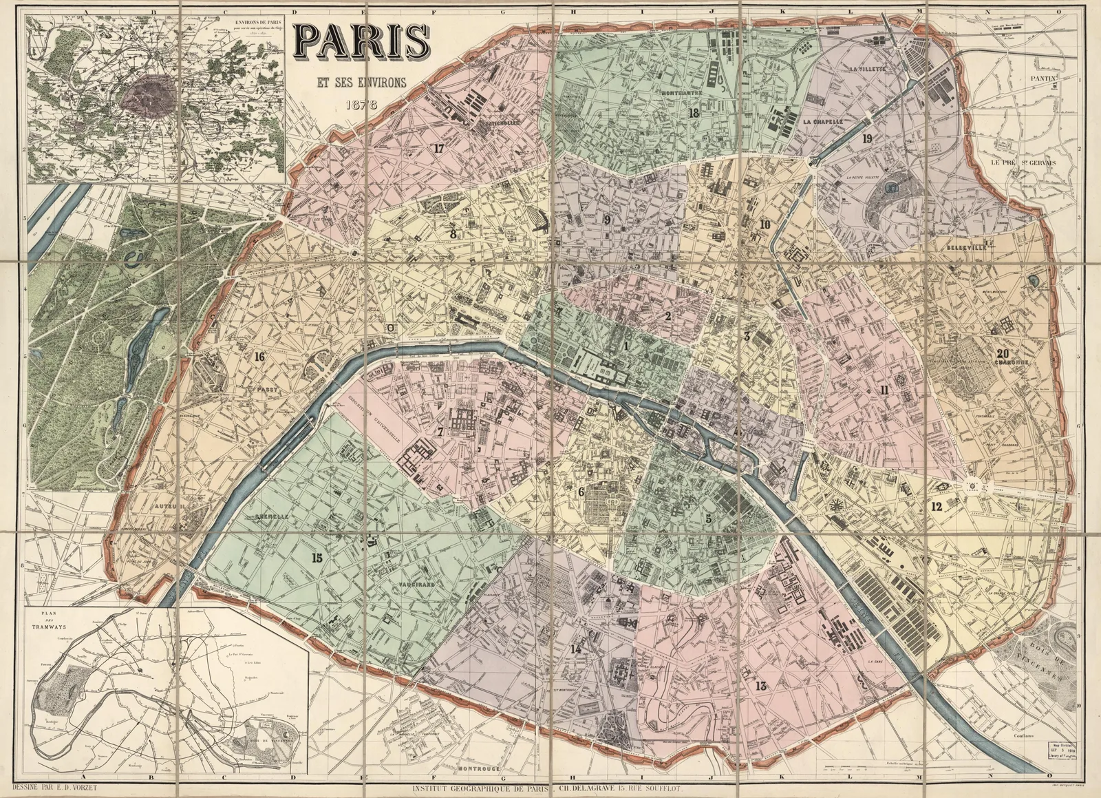 Map of Paris and Its SurroundingsInstitut Géographique de Paris · 1878
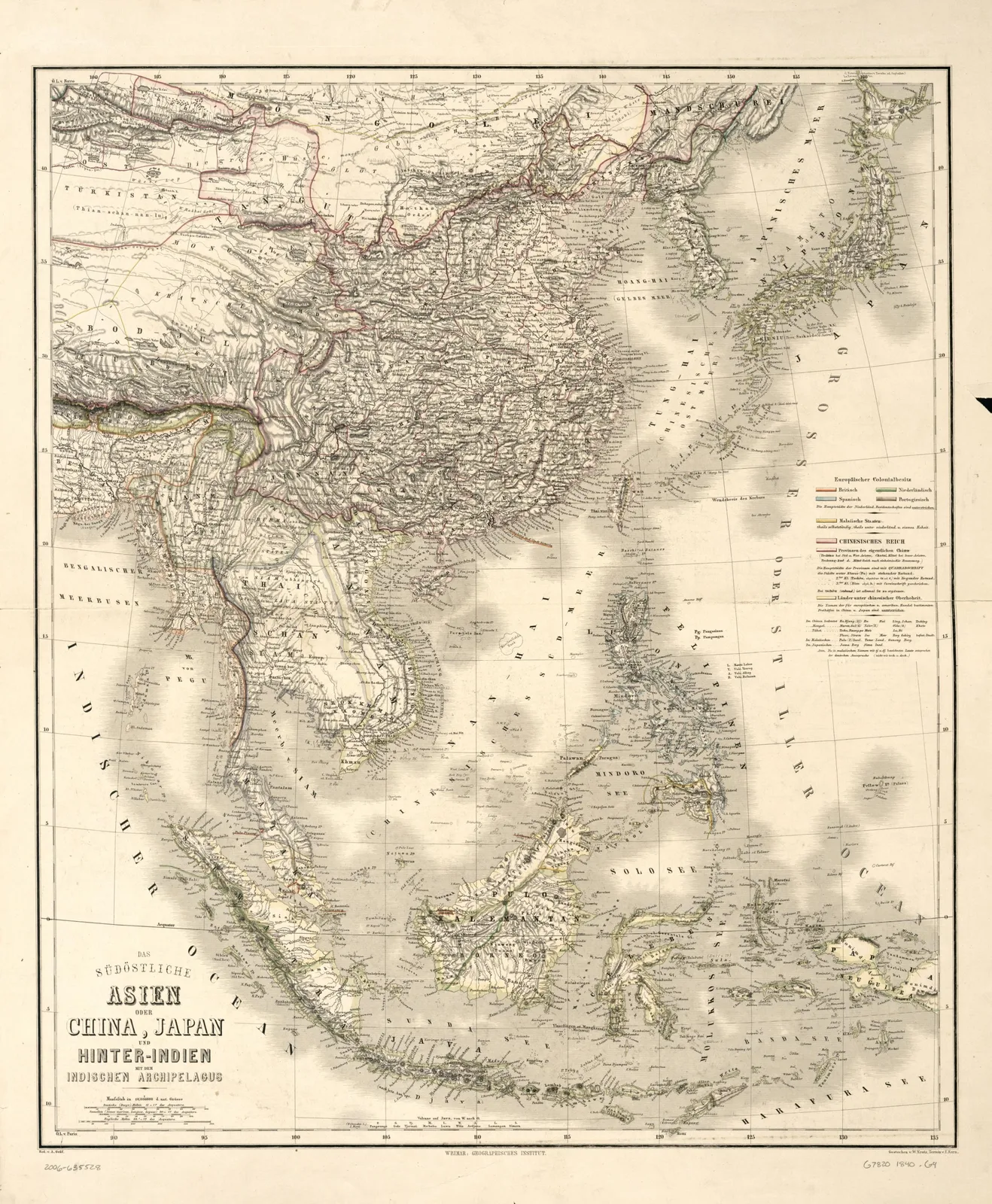 Map of Southeast Asia, China, Japan and the East IndiesGeographisches Institut (Weimar, Thuringia, Germany) · 1840
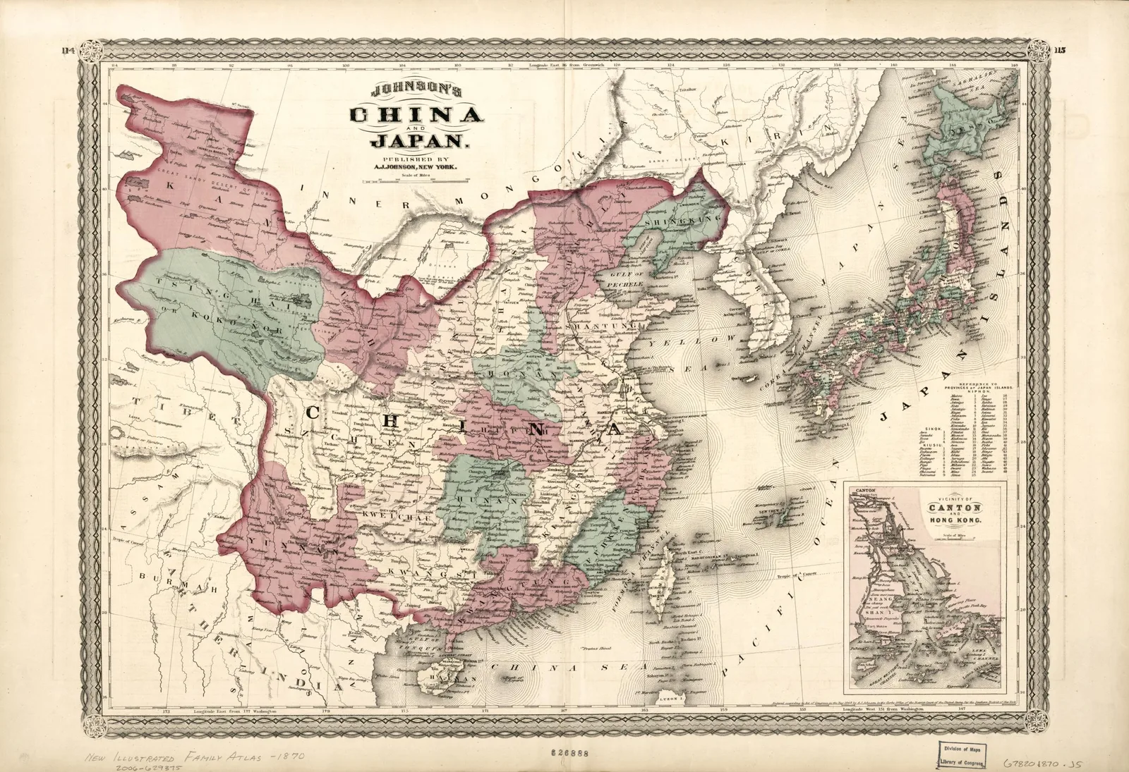 Johnson's China and JapanA. J. Johnson · 1870
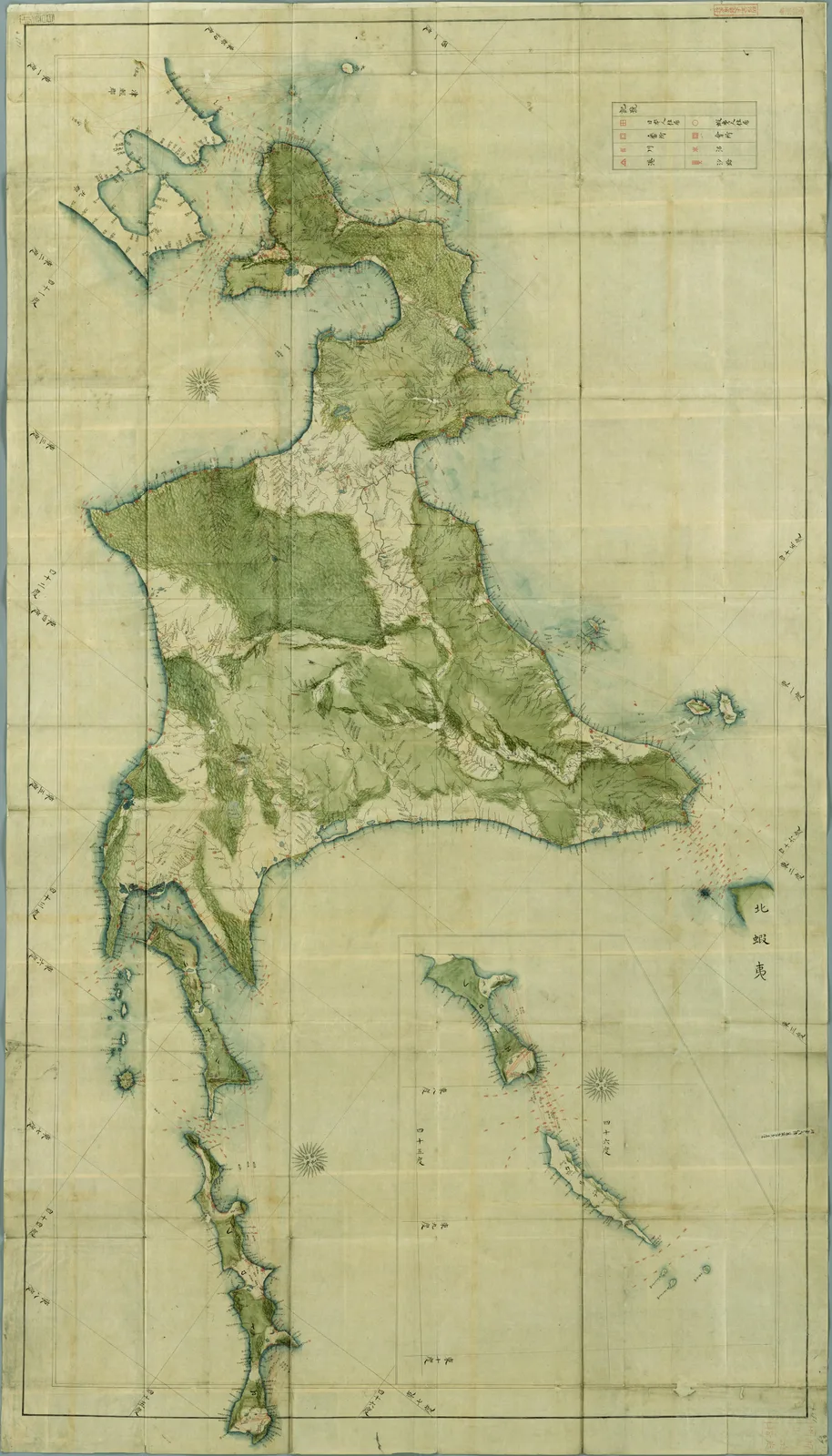 Map of EzoKageyasu Takahashi · 1826
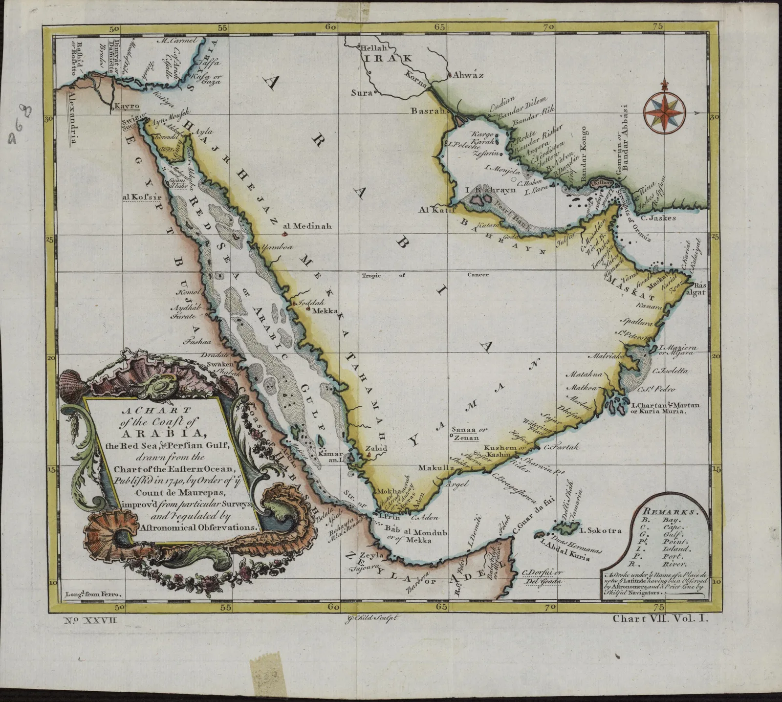 Chart of the Coast of Arabia, the Red Sea and the Persian GulfG. Child · 1740
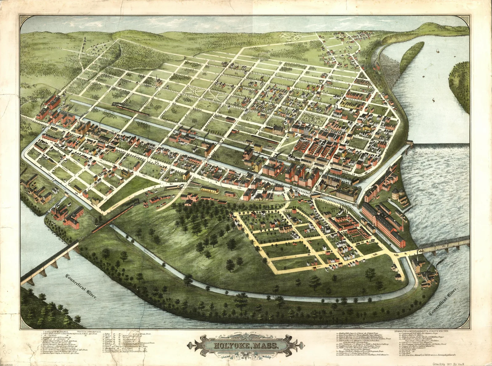 Bird's-Eye View of Holyoke, MassachusettsJ. C. Hazen · 1877
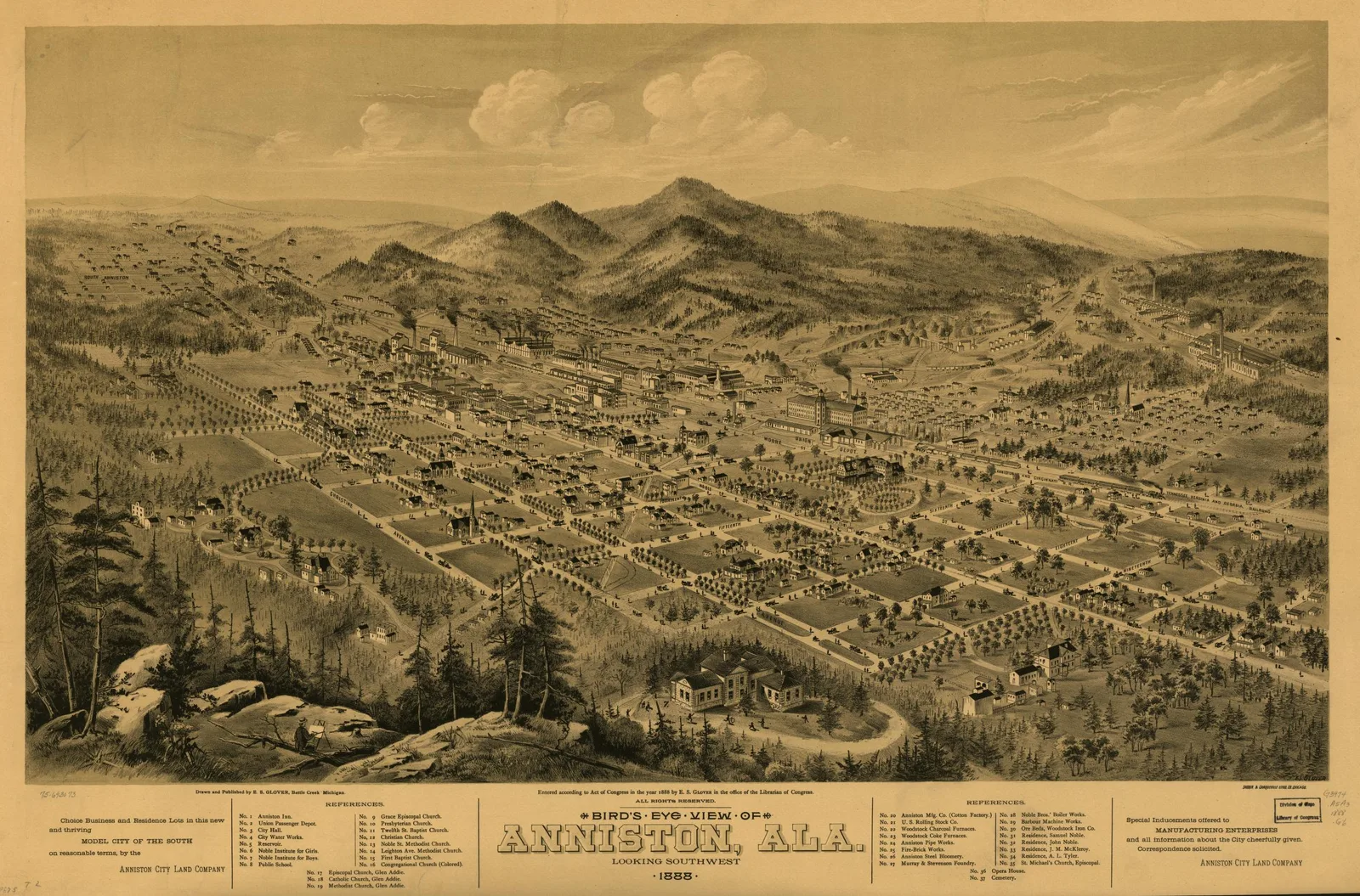 Bird's-Eye View of Anniston, AlabamaE. S. Glover · 1888
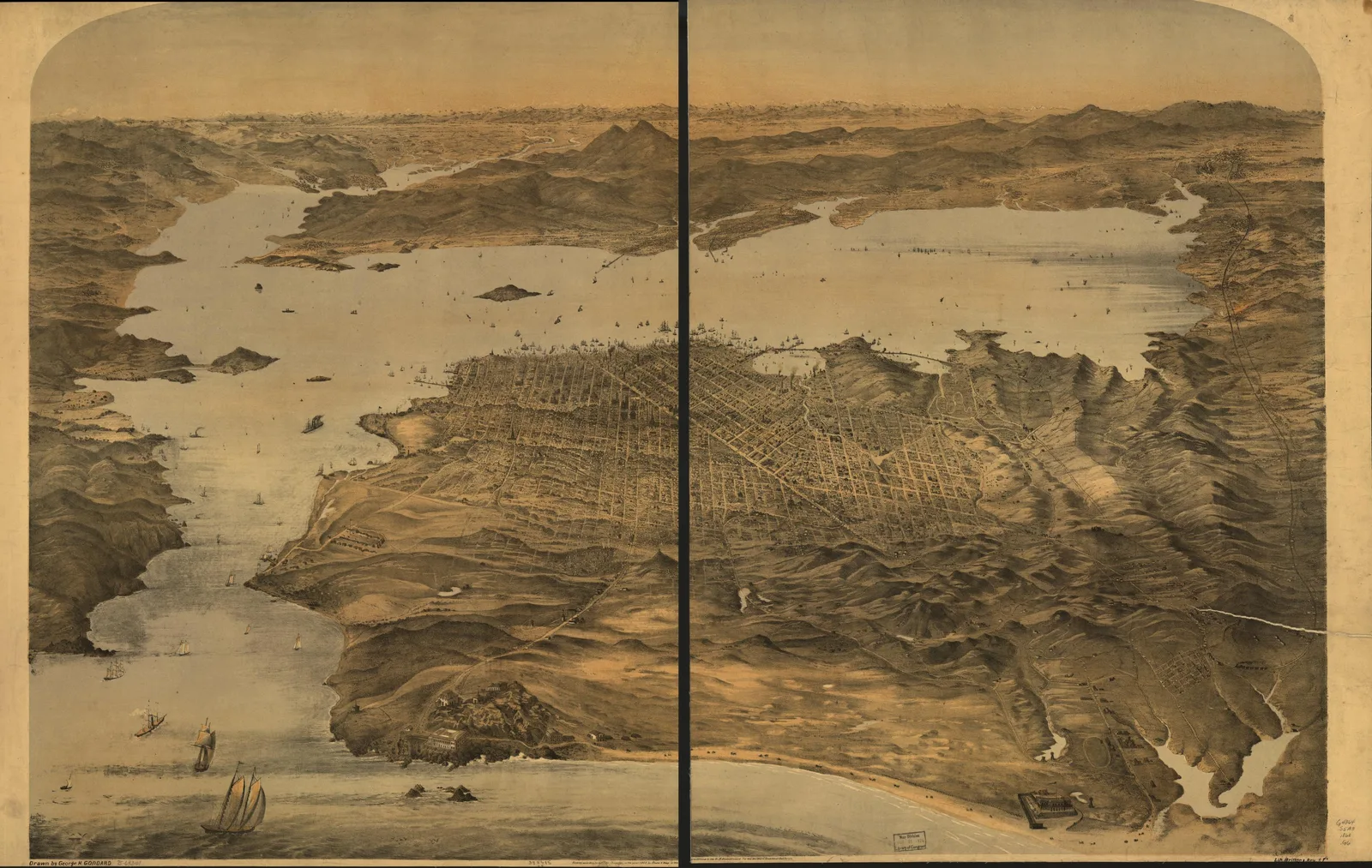 Bird's-Eye View of San FranciscoBritton & Rey · 1868
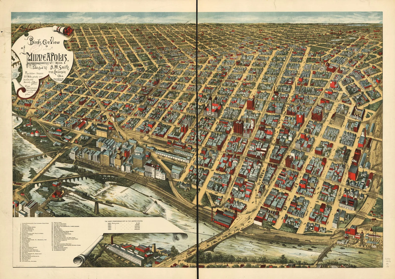 Bird's-Eye View of MinneapolisF. Pezolt · 1891
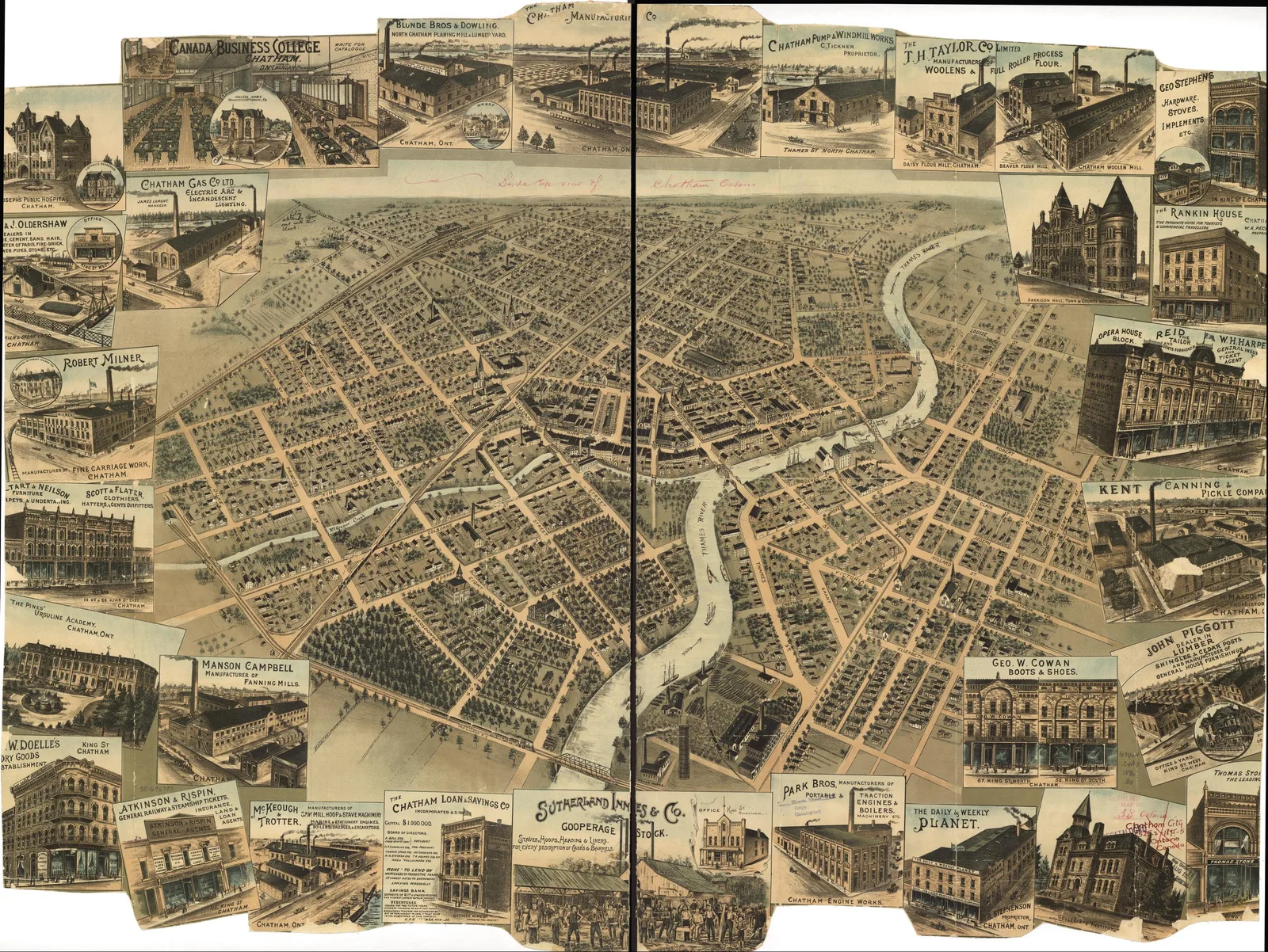 Bird's-Eye View of Chatham, Ontario1870
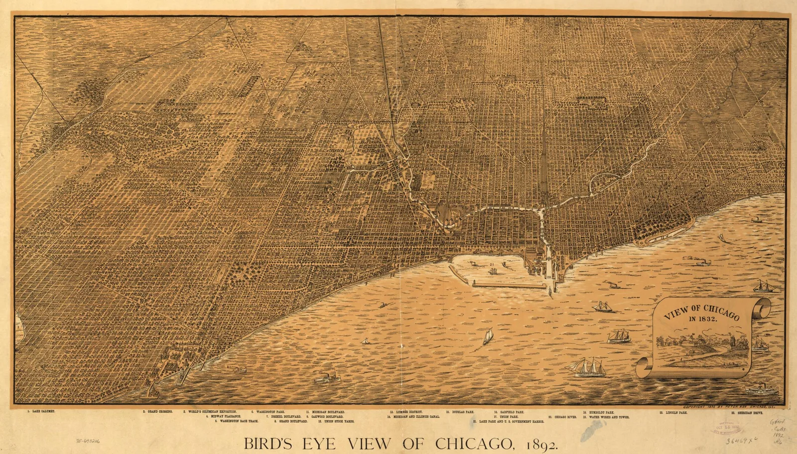 Bird's-Eye View of ChicagoPeter Roy · 1892
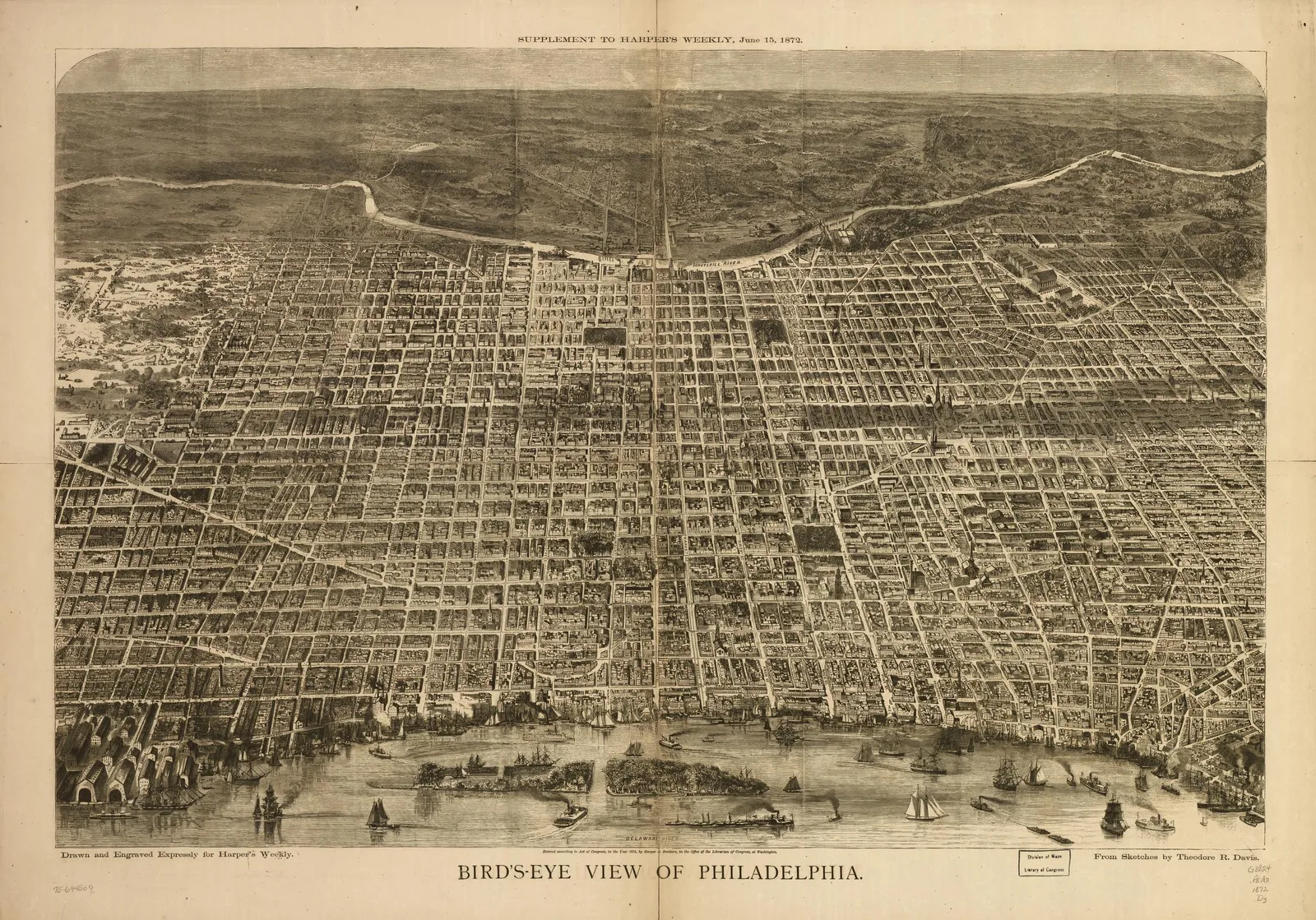 Bird's-Eye View of PhiladelphiaHarper & Brothers · 1872
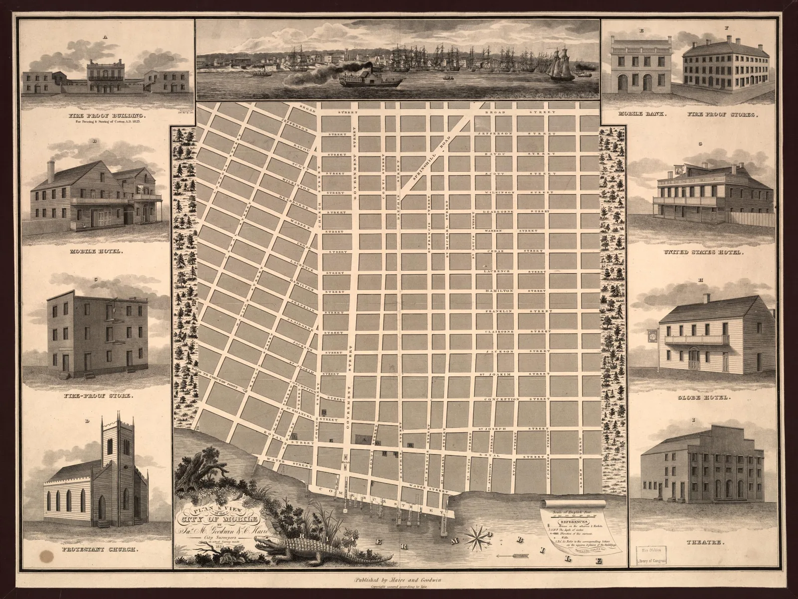 Plan and View of the City of MobileC. Haire · 1824
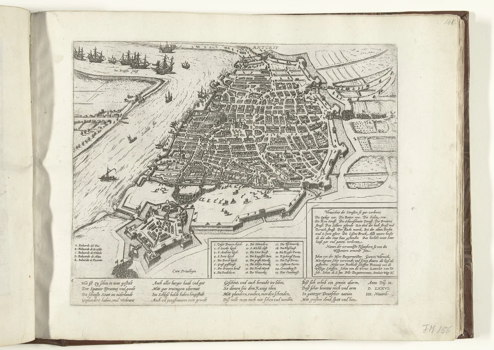 Plan of Antwerp During the Spanish FuryFrans Hogenberg · 1576–1578
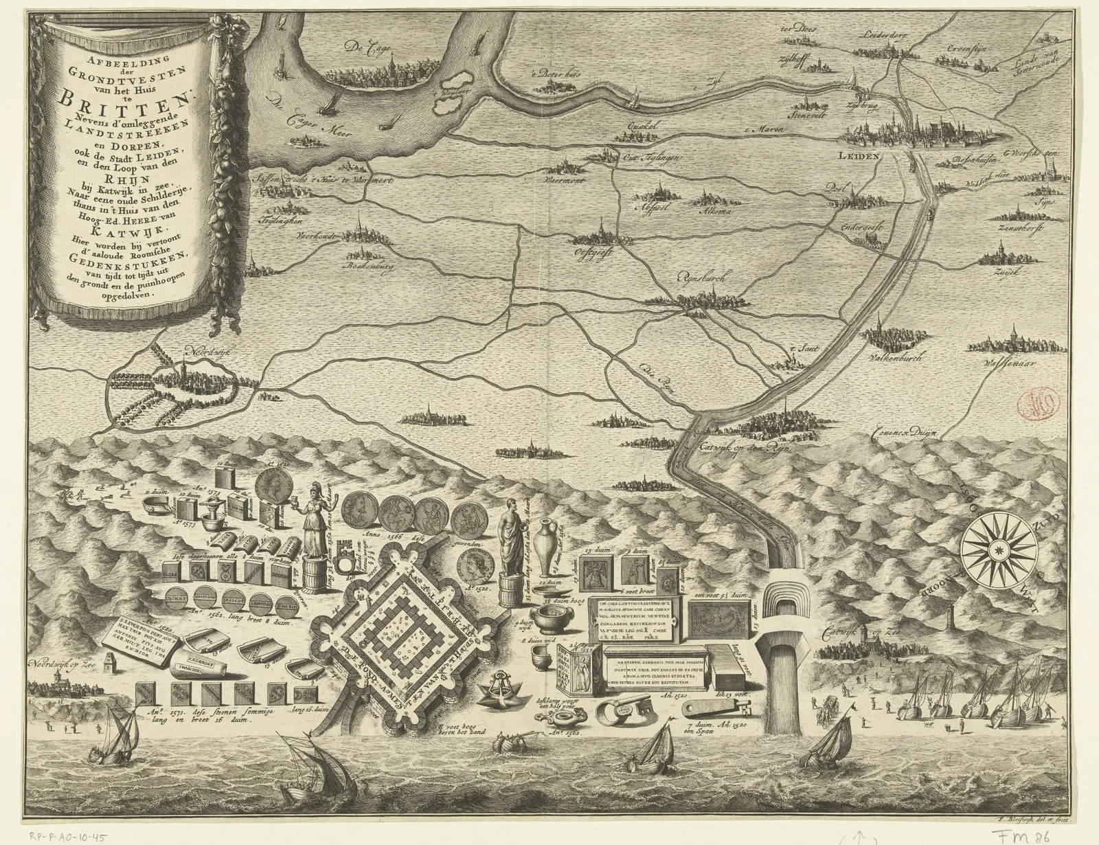 The Brittenburg near KatwijkFrançois van Bleyswijck · 1728–1739
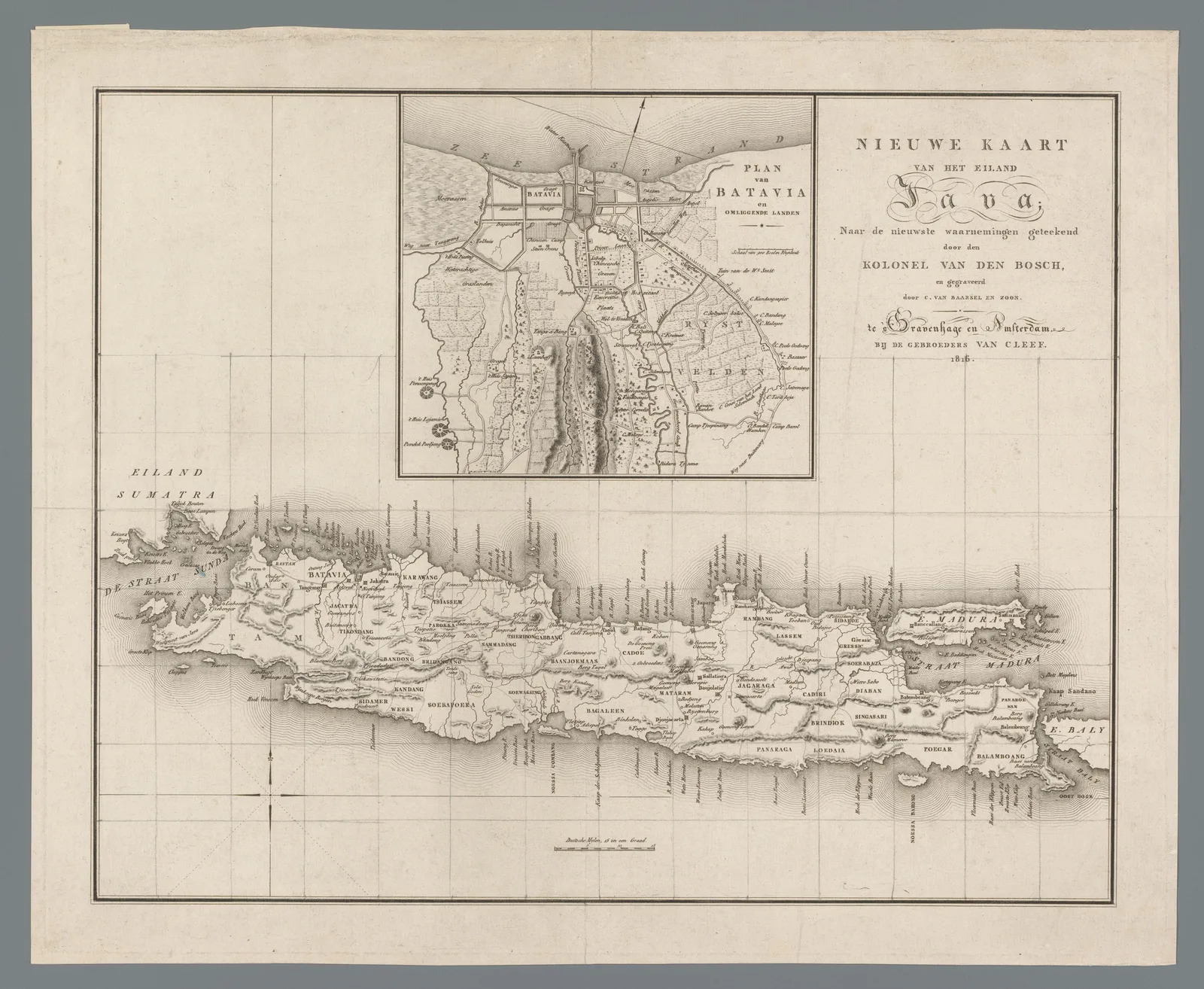 Map of Java with a Plan of Batavia1816
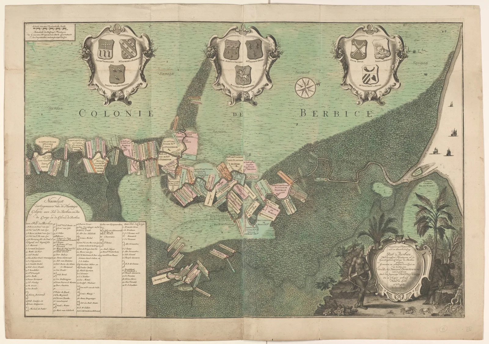 Map of the Berbice River and Its Plantations1742
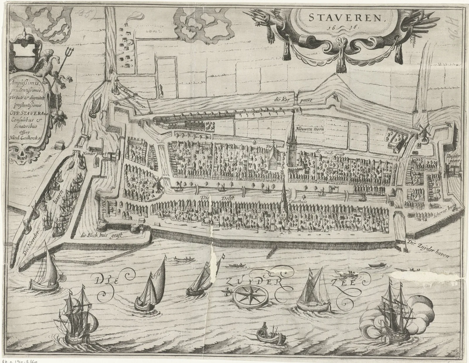 Plan of Stavoren1616
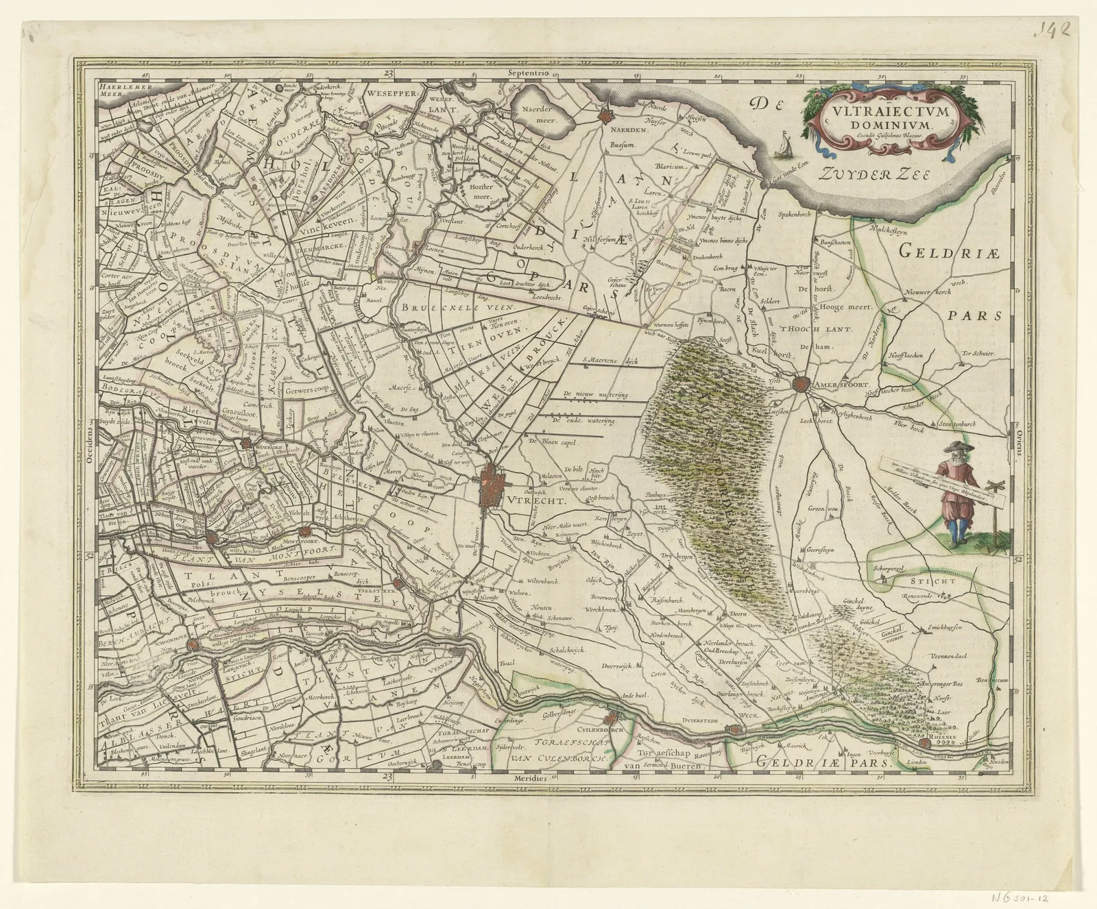 Map of the Province of Utrecht1630
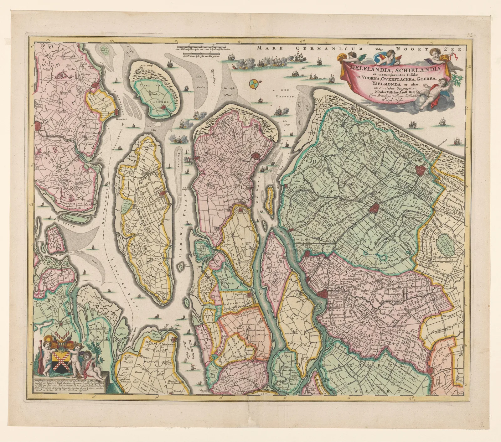 Map of South HollandNicolaes Visscher (I) · 1675
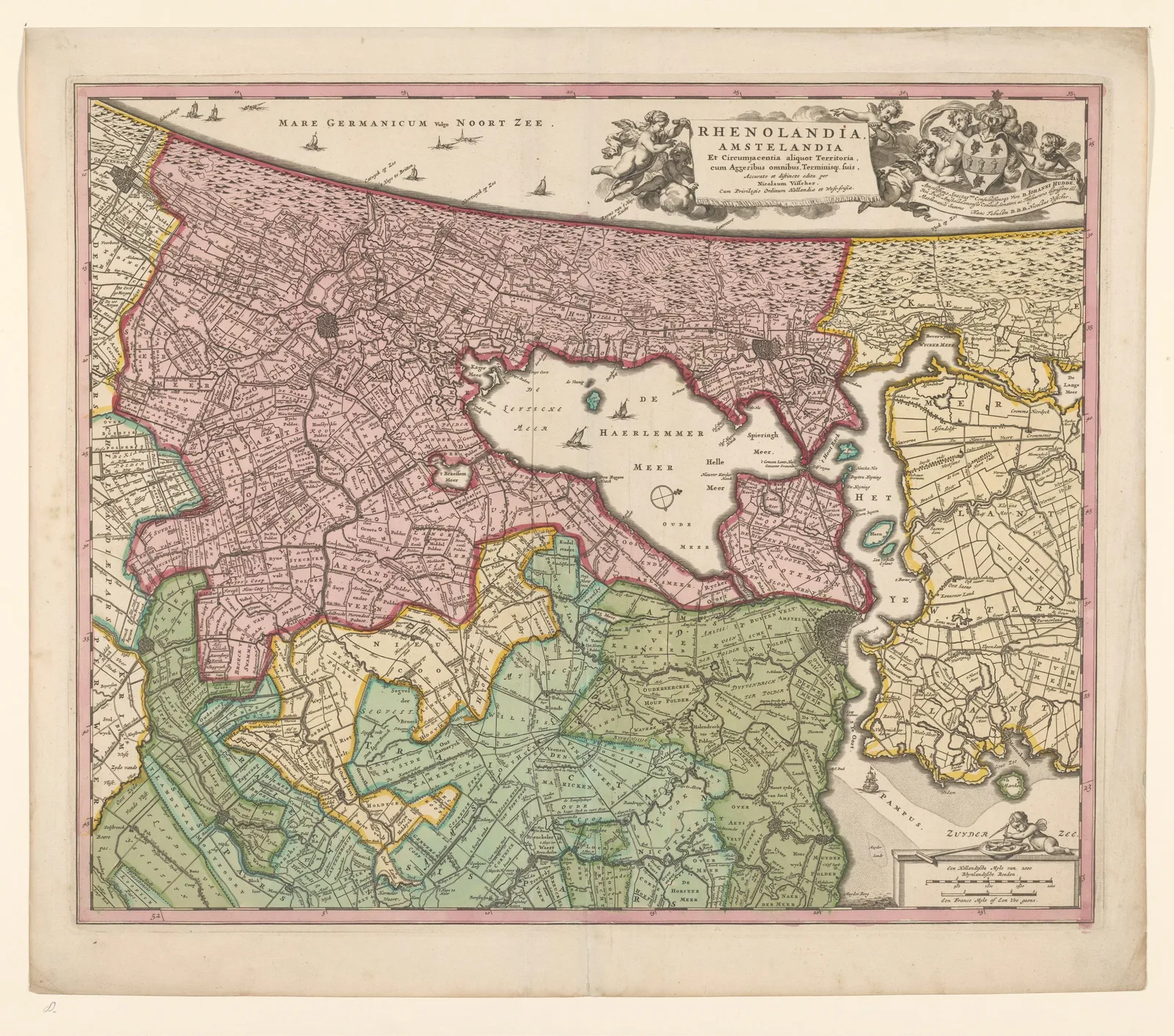 Map of Rijnland and Amstelland1675
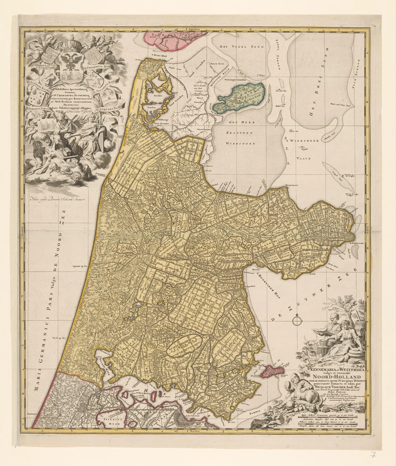 Map of North Holland1700–1710
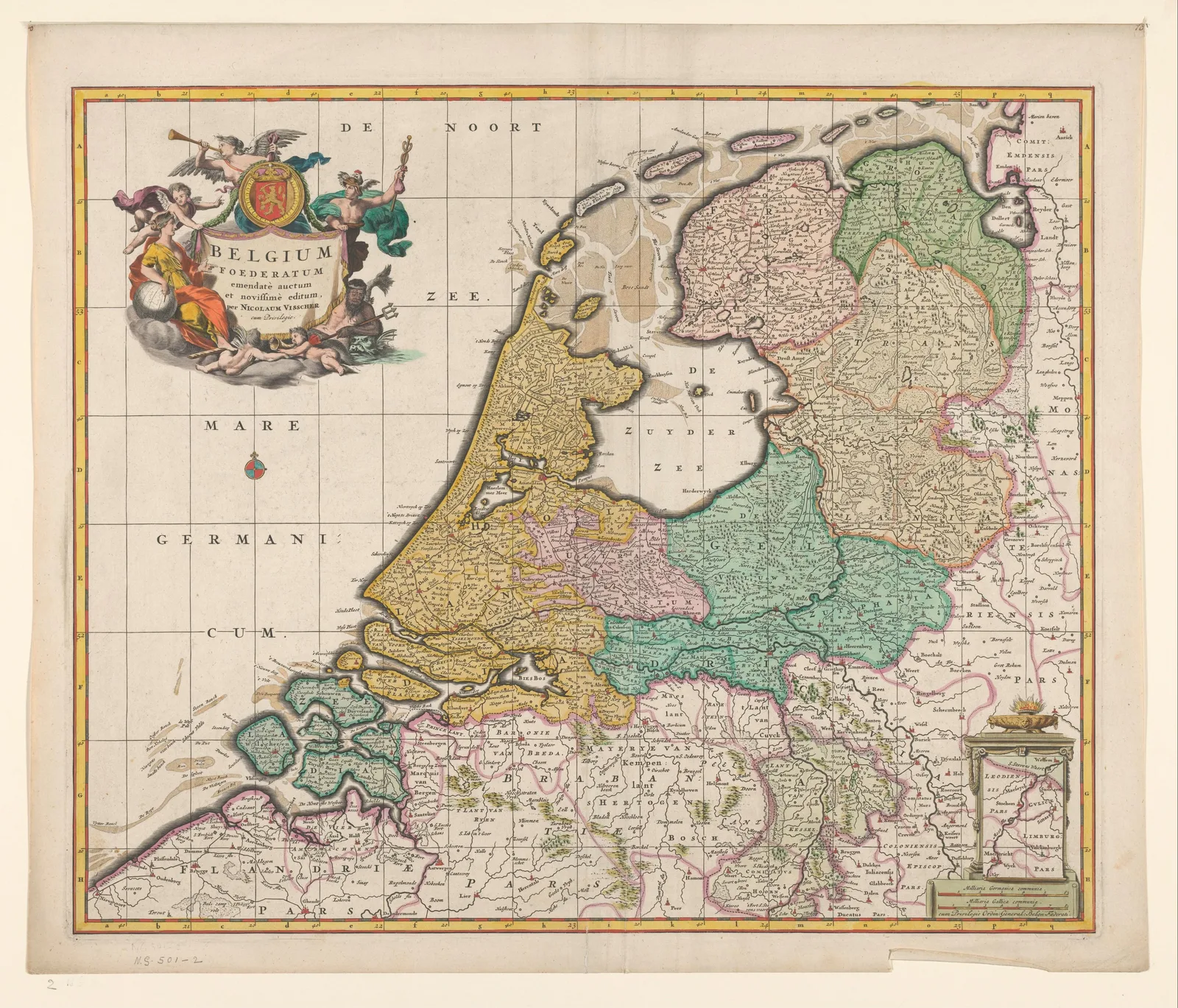 Map of the Seven United Netherlands1677–1679
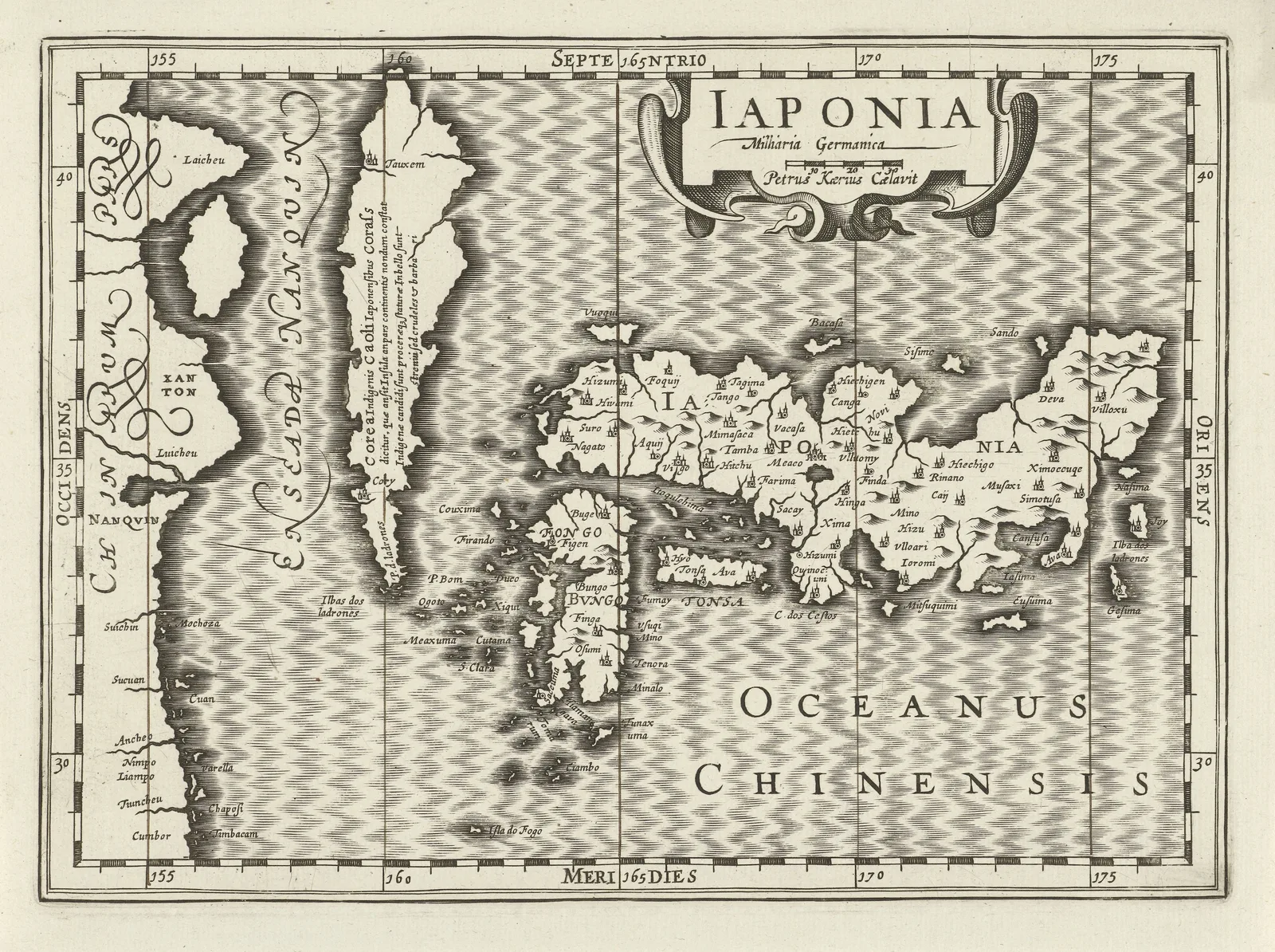 Map of Japan1628–1630
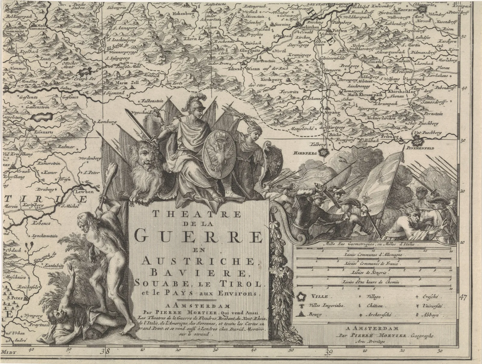 Theatre of War, Northeast AustriaCornelis Huyberts · 1689–1712
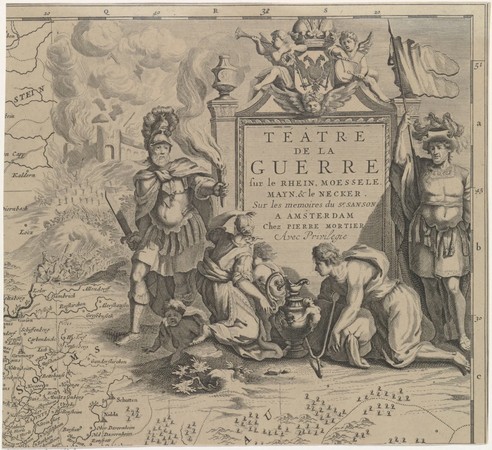 Theatre of War, Solms RegionCornelis Huyberts · 1689–1712
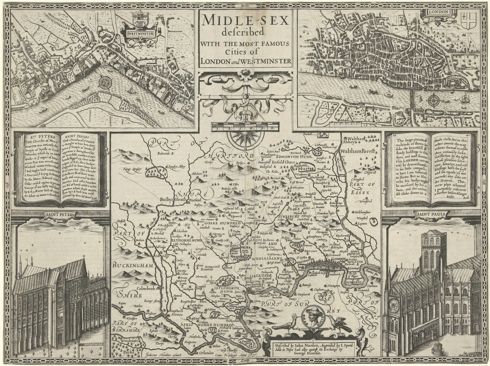 Map of Middlesex1610
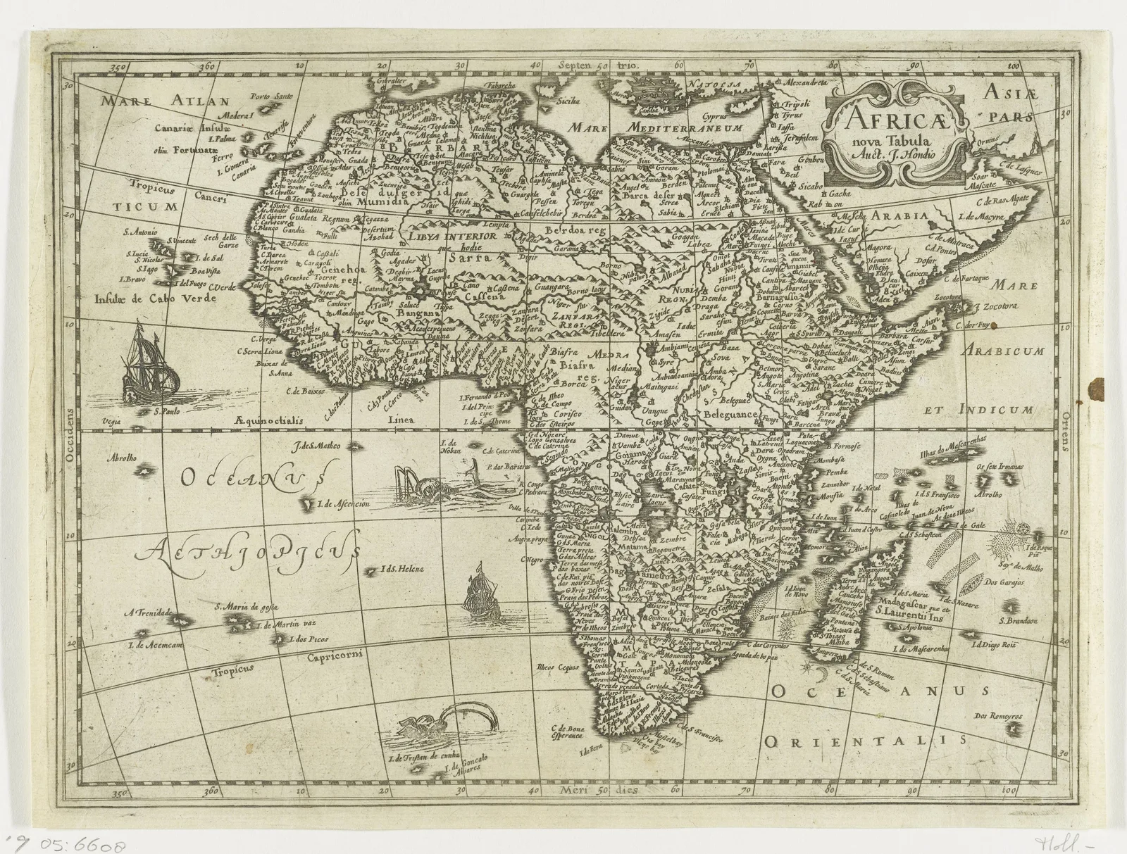 Map of Africa1573–1612
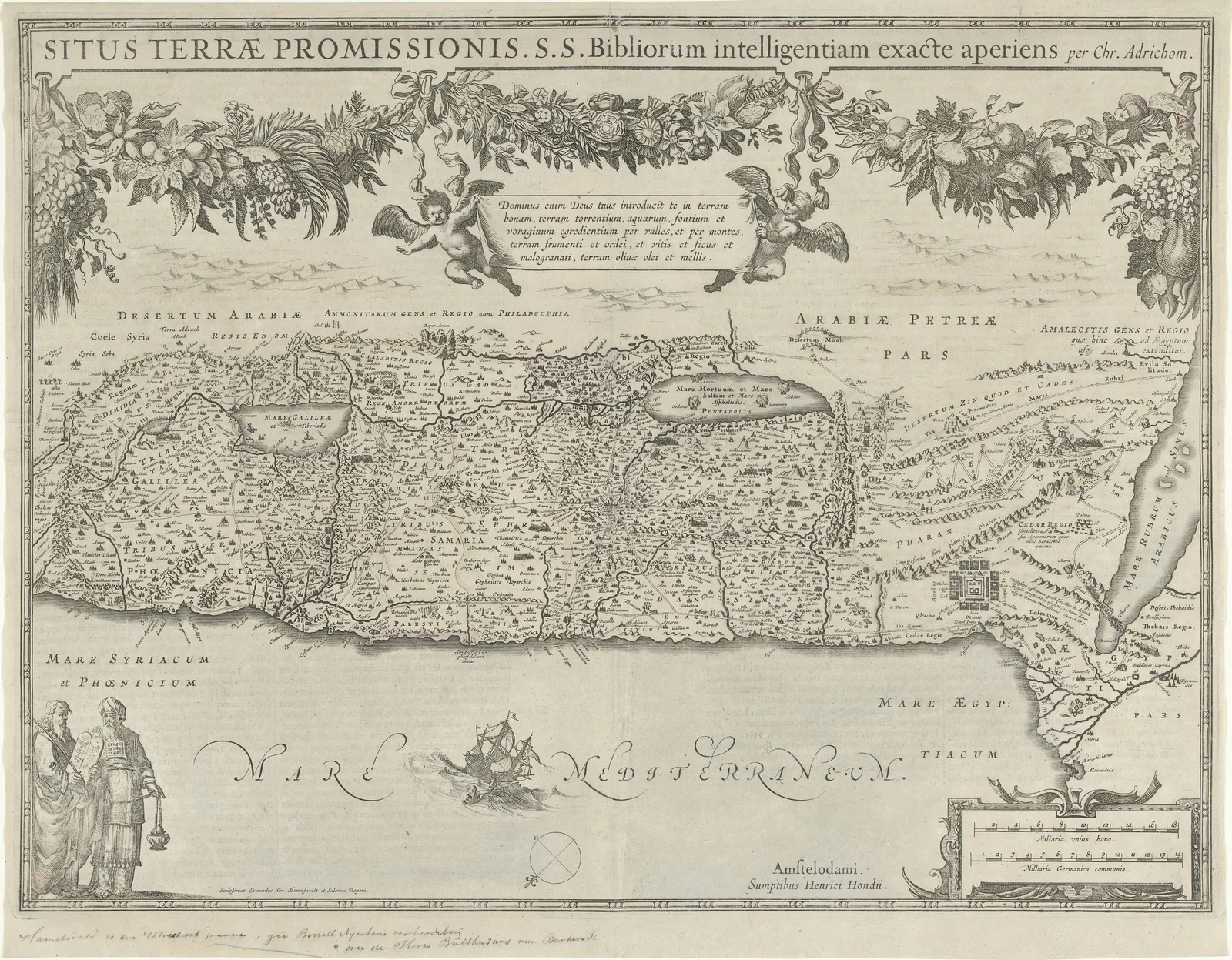 Map of the Promised Land1618–1639
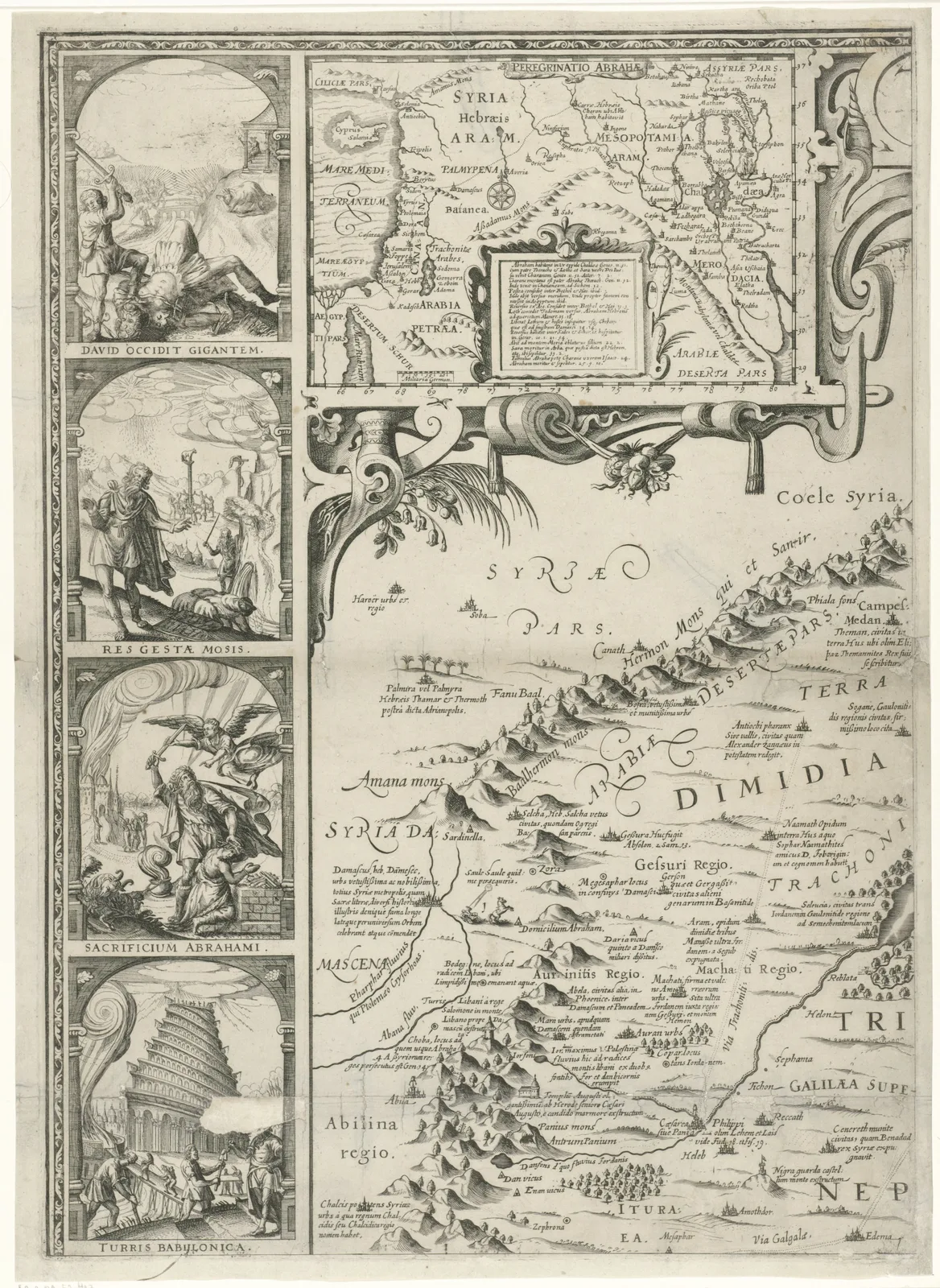 Map of PalestineNicolaes van Geelkercken · 1621
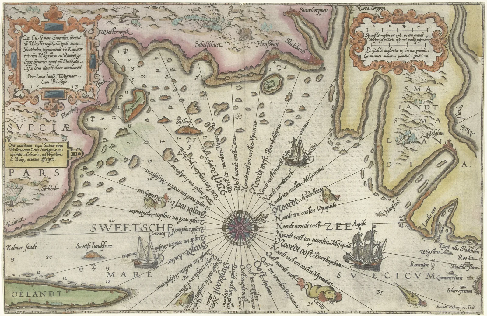 Chart of the Swedish Coast from Kalmar to Stockholm1580–1583
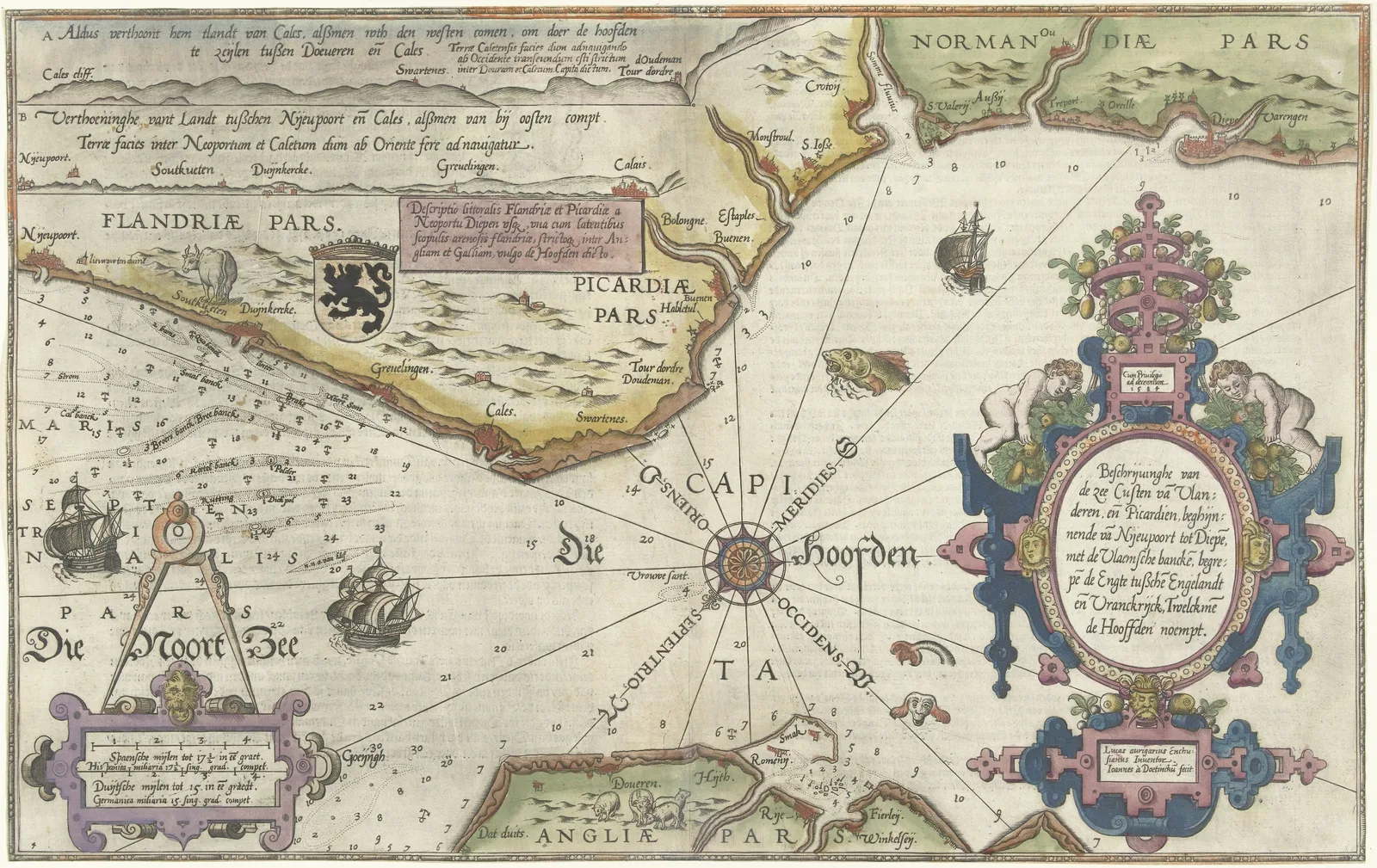 Chart of the Coasts of Flanders, Normandy and EnglandStaten van Holland en Zeeland · 1580–1581
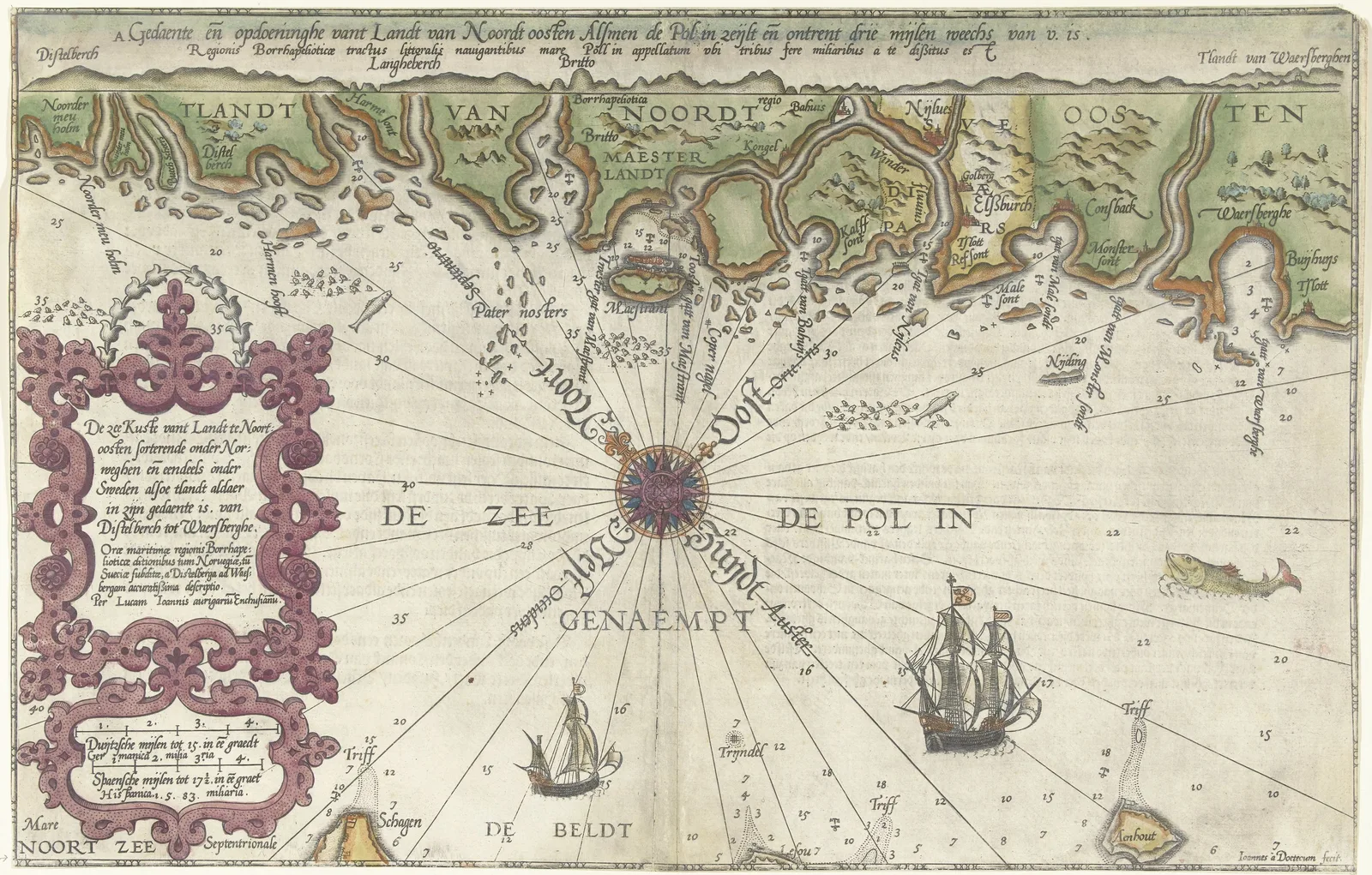 Chart of Part of the Norwegian and Swedish CoastStaten van Holland en Zeeland · 1580–1583
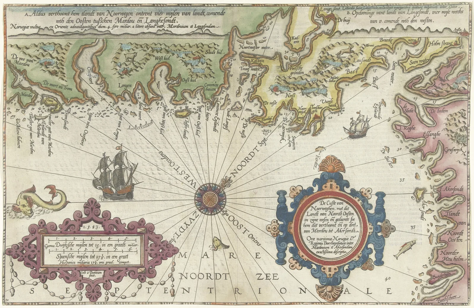 Chart of the Coast of Norway and SwedenJoannes van Doetechum (I) · 1580–1583
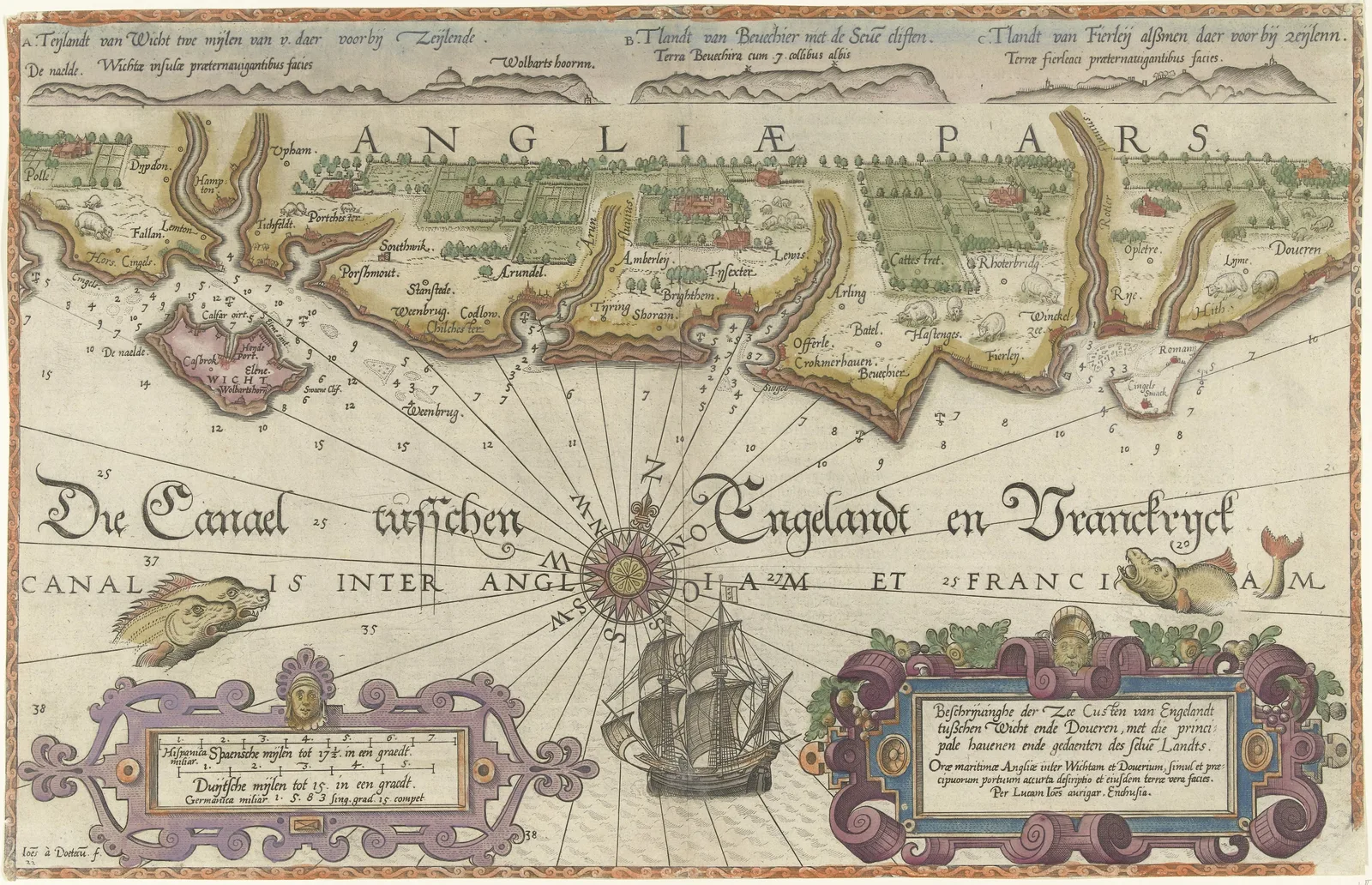 Chart of the English Channel from the Isle of Wight to DoverStaten van Holland en Zeeland · 1580–1583
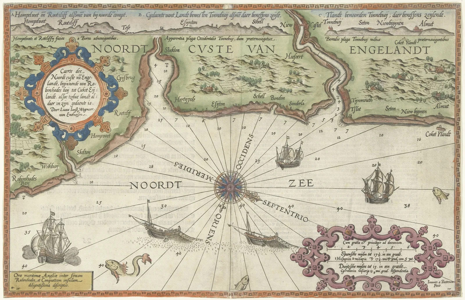 Chart of the North Coast of England near Newcastle1580–1583
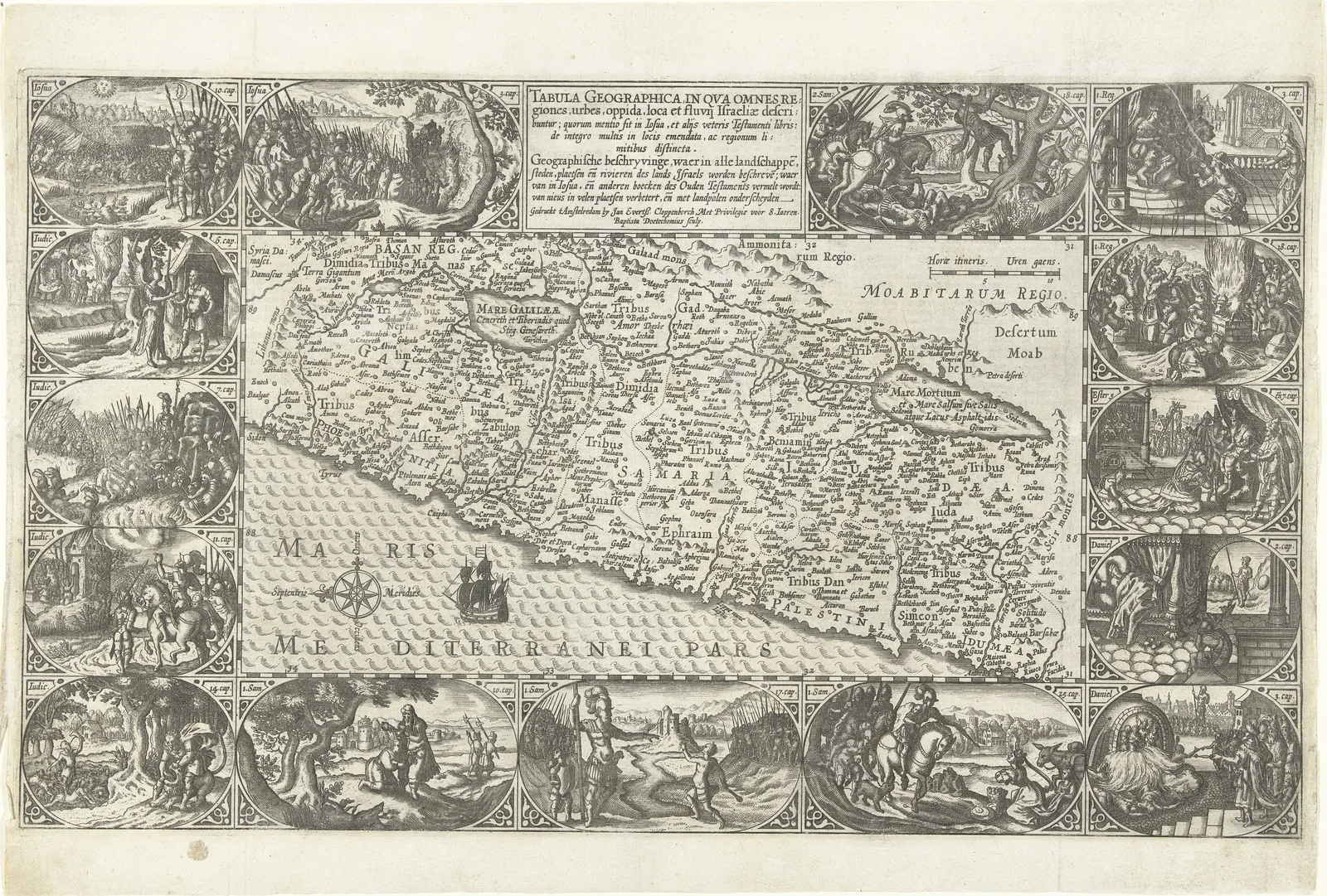 Map of the Holy LandPetrus Plancius · 1603–1604
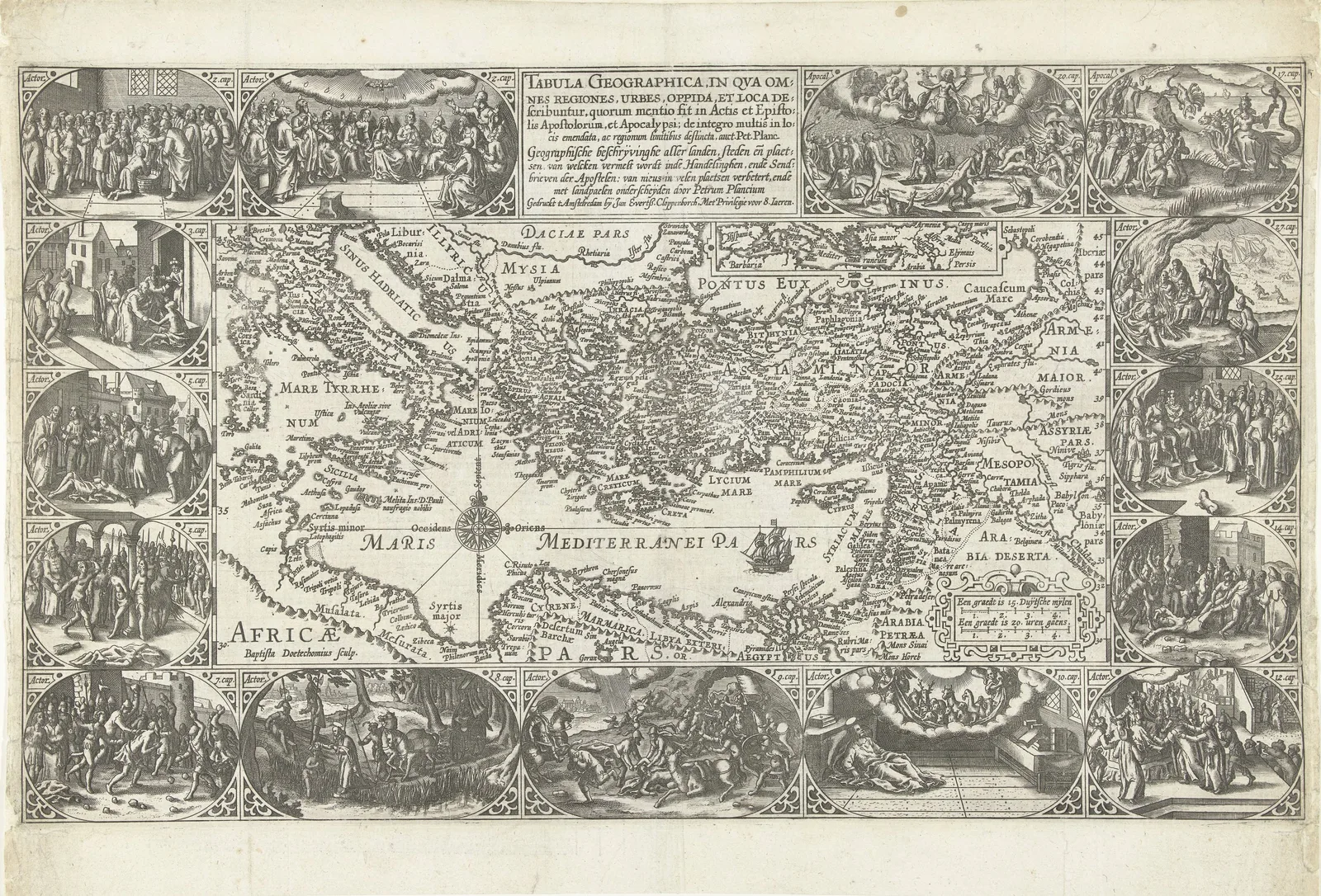 Map of the Northeast Mediterranean1603–1604
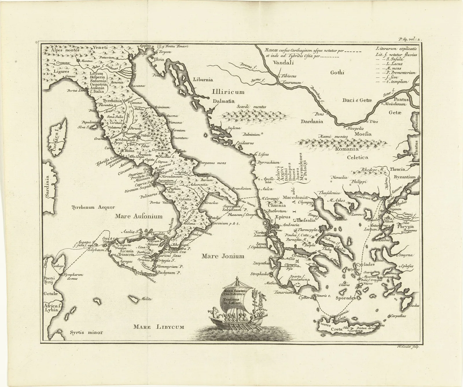 Historical Map of Greece and Italy1757–1765
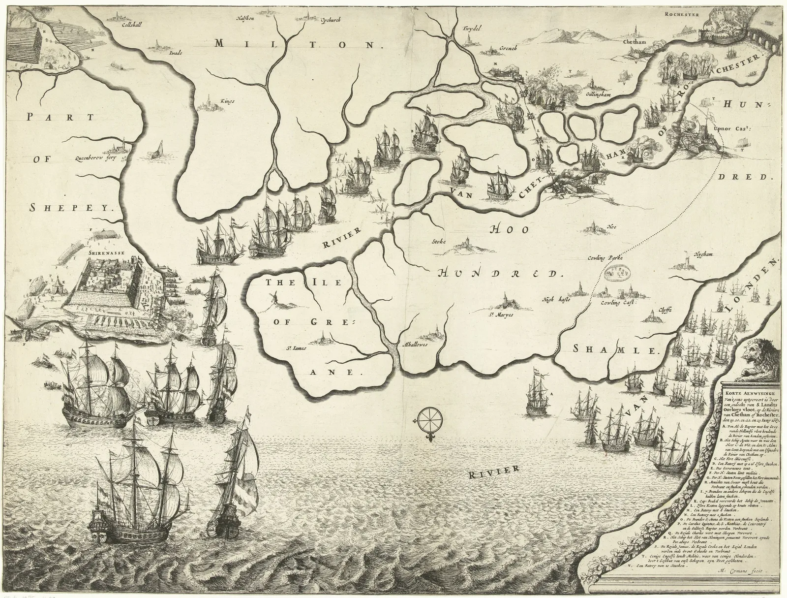 Map of the Thames Estuary and the Voyage to Chatham1667
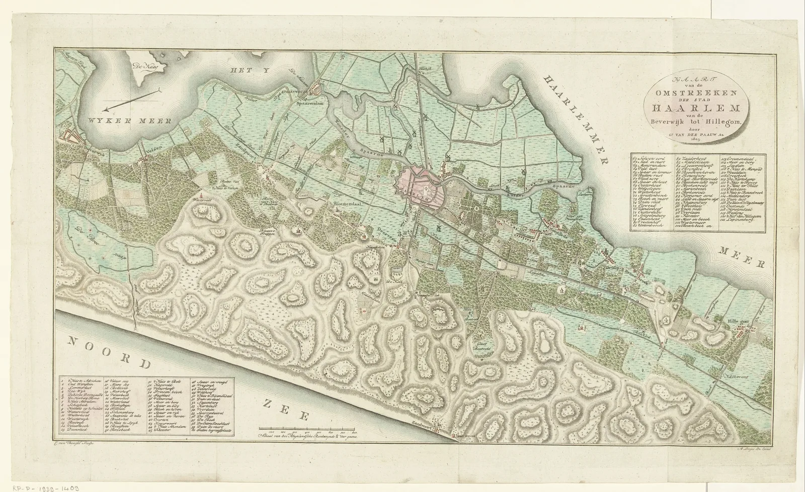 Map of Haarlem and Surroundings1805
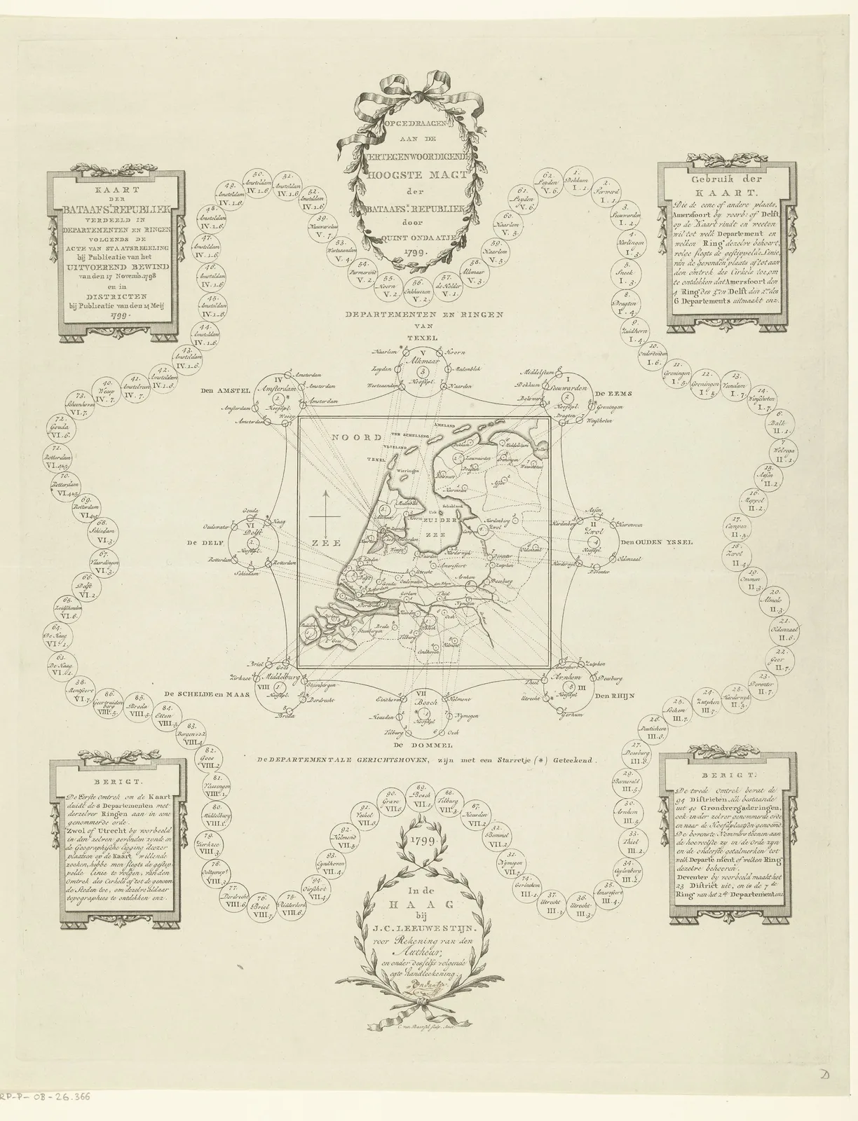 Map of the Batavian Republic1799
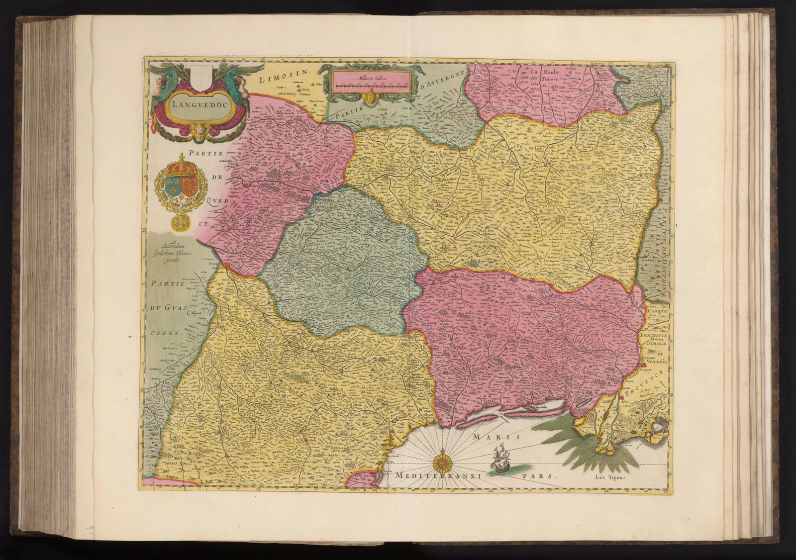 Map of LanguedocAnna Beeck · 1631–1672
More art collections
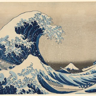 Japanese Woodblock Prints68 · Hokusai, Hiroshige and their peers: waves, mountains, actors.
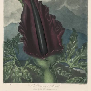 Botanical Illustrations56 · Plants, flowers and fruit from old botanical plates.
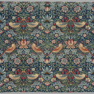 William Morris Patterns37 · Wallpapers and textiles by the Arts and Crafts designer.
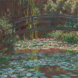 Impressionist Paintings71 · Gardens, rivers and streets by Monet, Renoir, Pissarro and friends.
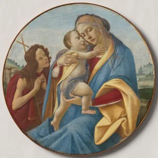 Renaissance Paintings57 · Portraits, saints and myths from Italy and the North.
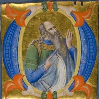 Medieval Manuscripts60 · Gilded letters, borders and miniatures from medieval books.
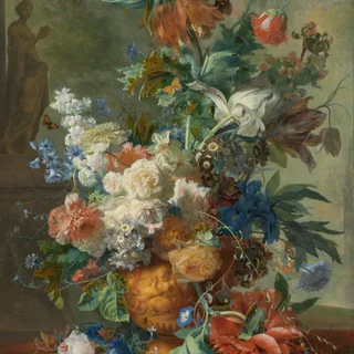 Dutch Still Life50 · Flowers, fruit and laden tables from the Dutch Golden Age.
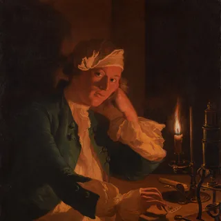 Dark Academia Art63 · Candlelit scholars, stormy skies and moody portraits.
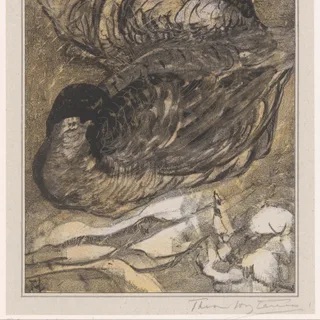 Vintage Bird Prints52 · Birds from old natural-history plates and colour prints.
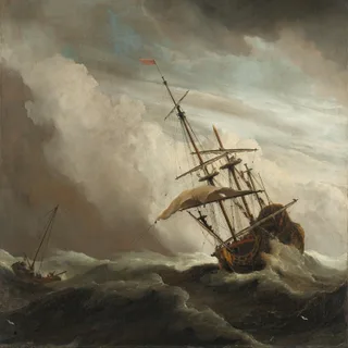 Seascapes62 · Storms, ships and quiet shores in oil and watercolor.
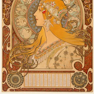 Art Nouveau Posters60 · Decorative posters from the 1890s and early 1900s.